Day Sixty One: The Fog Comes In on Little Cat Feet: Wyoming, South Dakota (Devil’s Tower, Mount Rushmore)

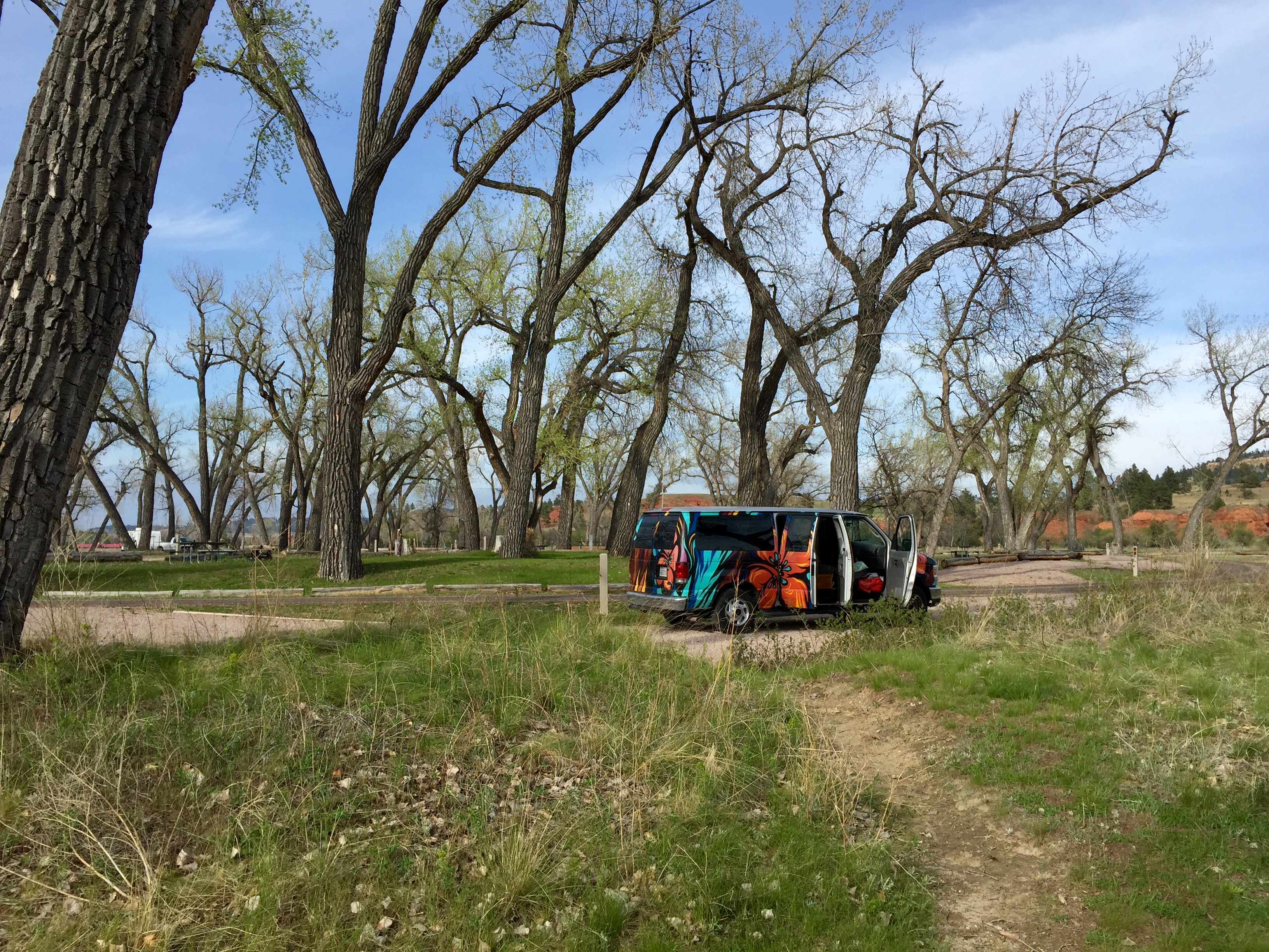
Events of Friday, May 15th, blogged Saturday July 22nd

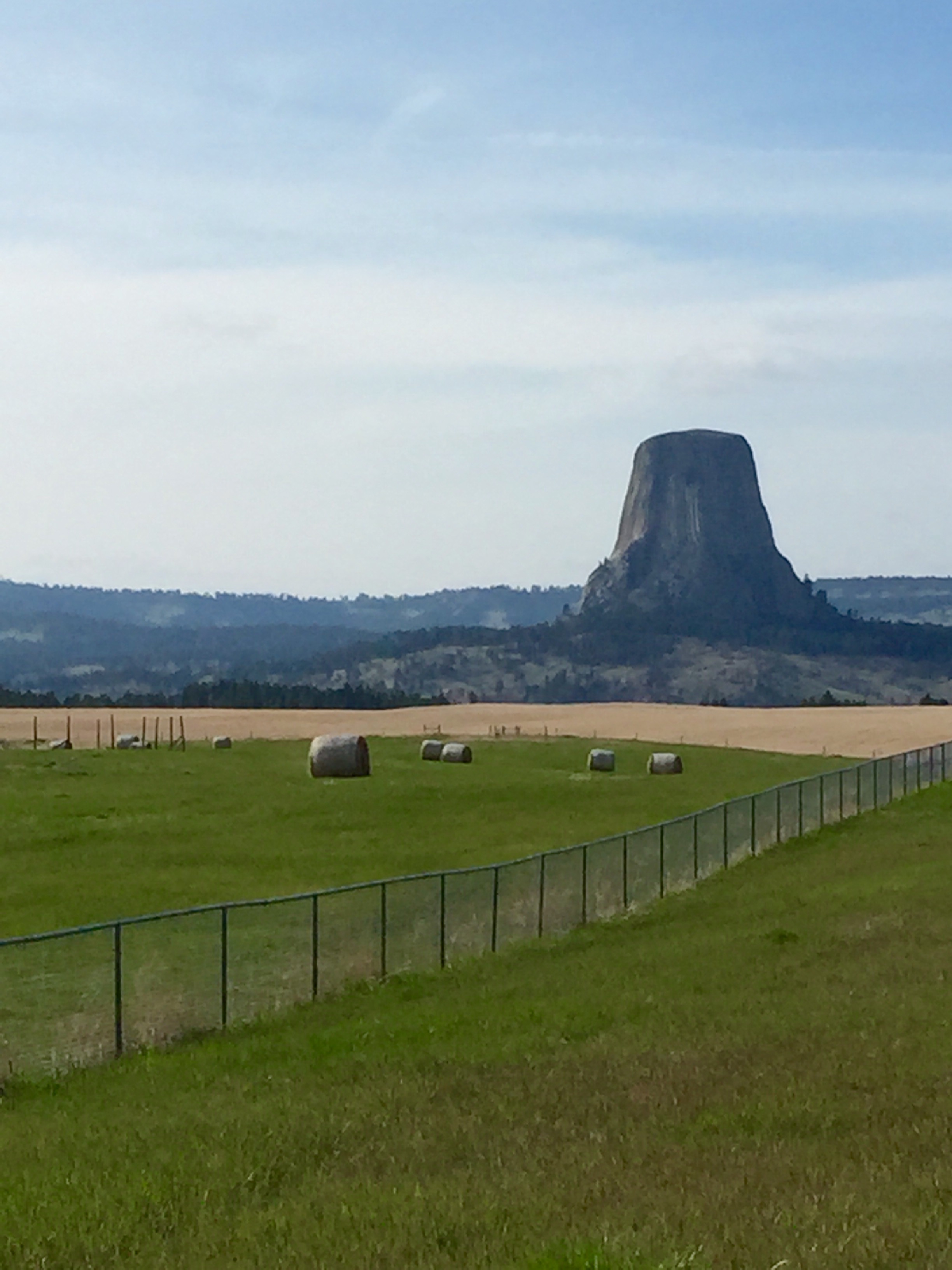
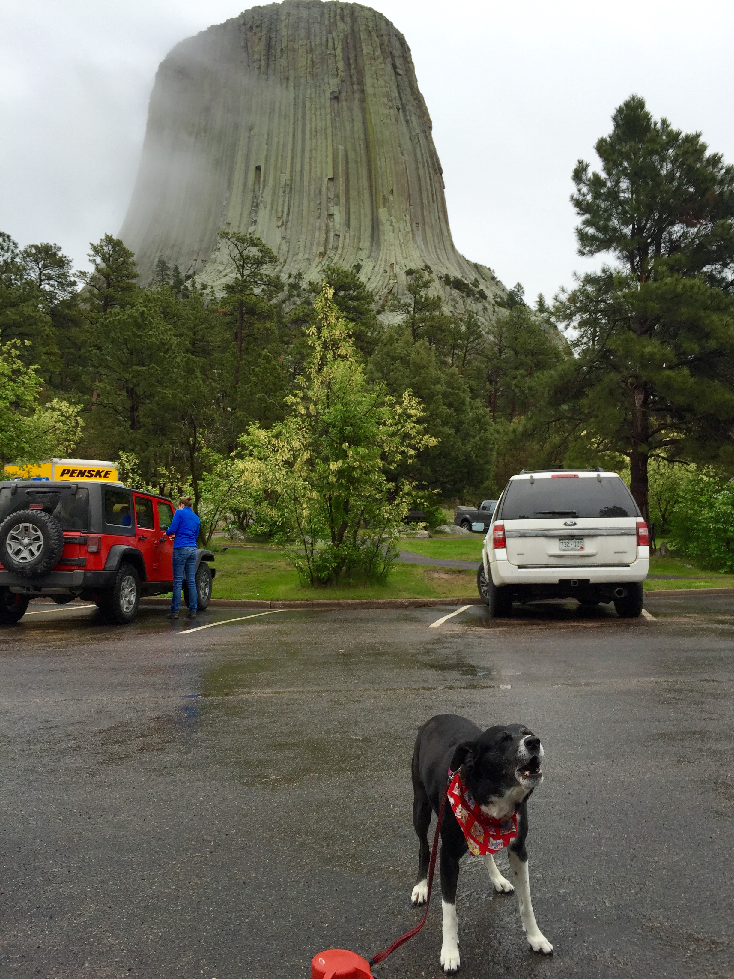
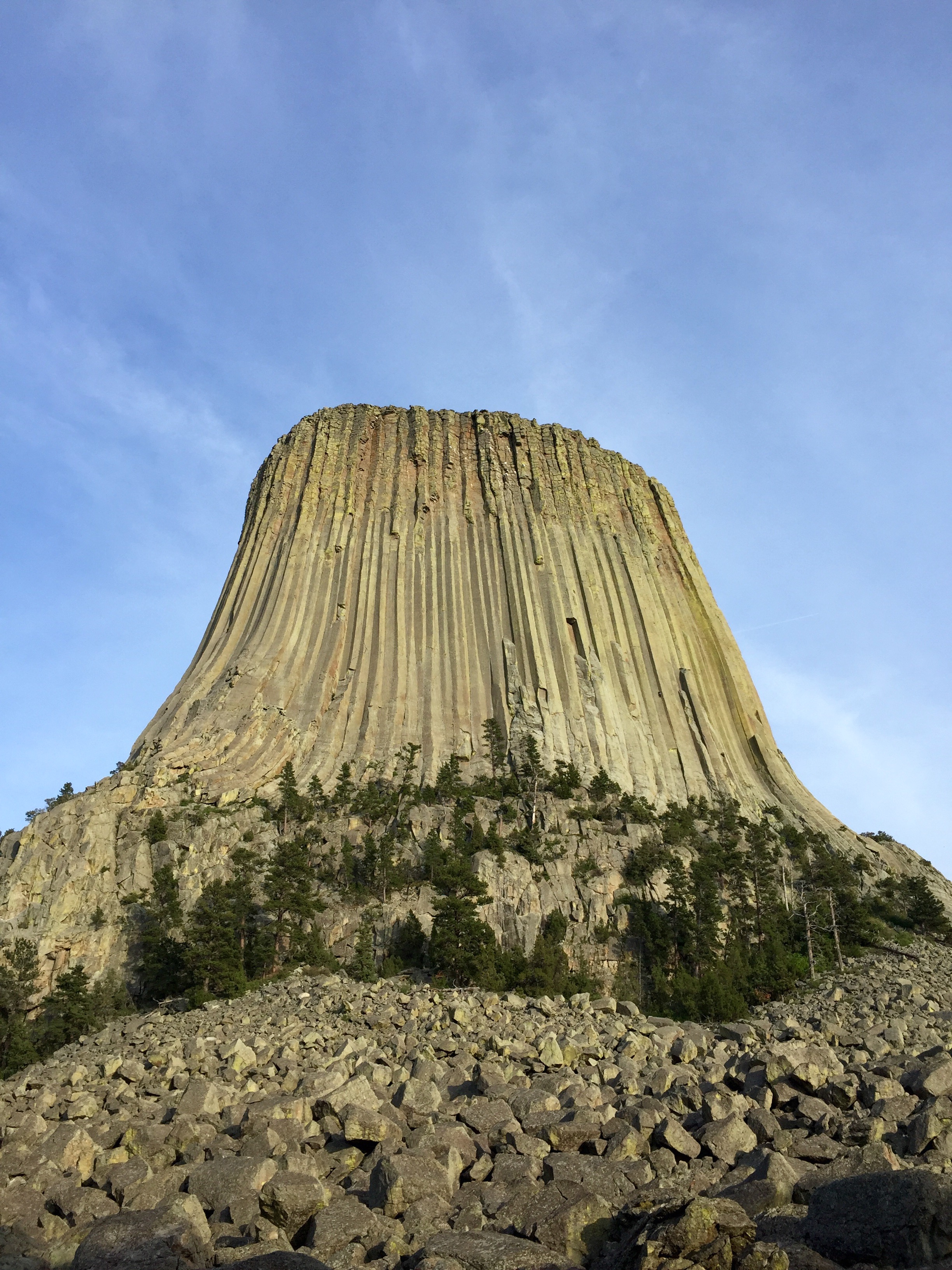
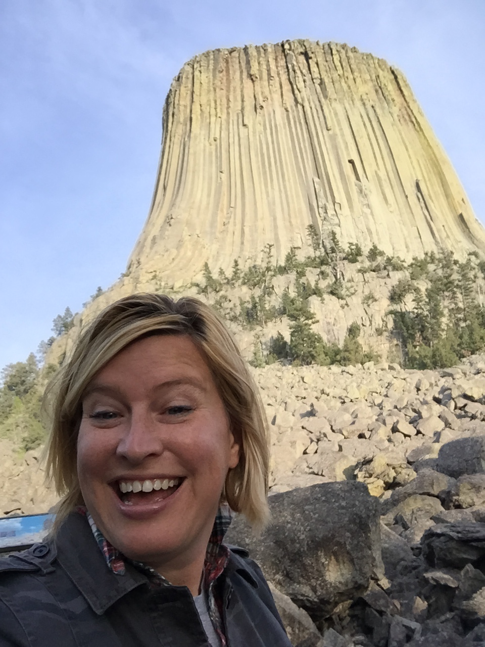
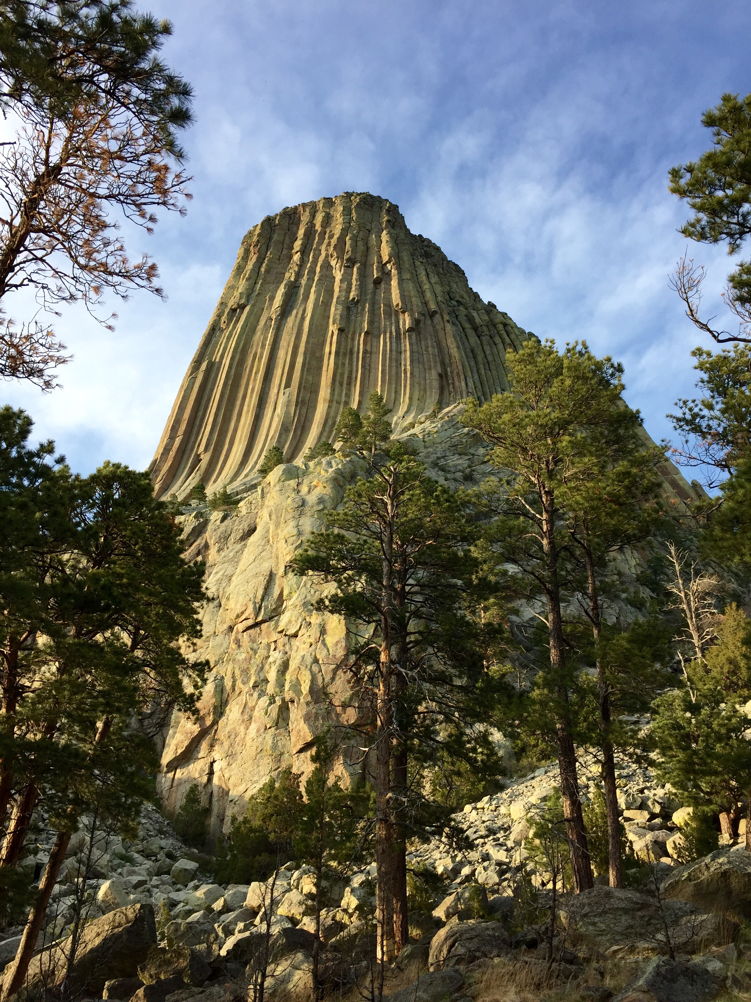
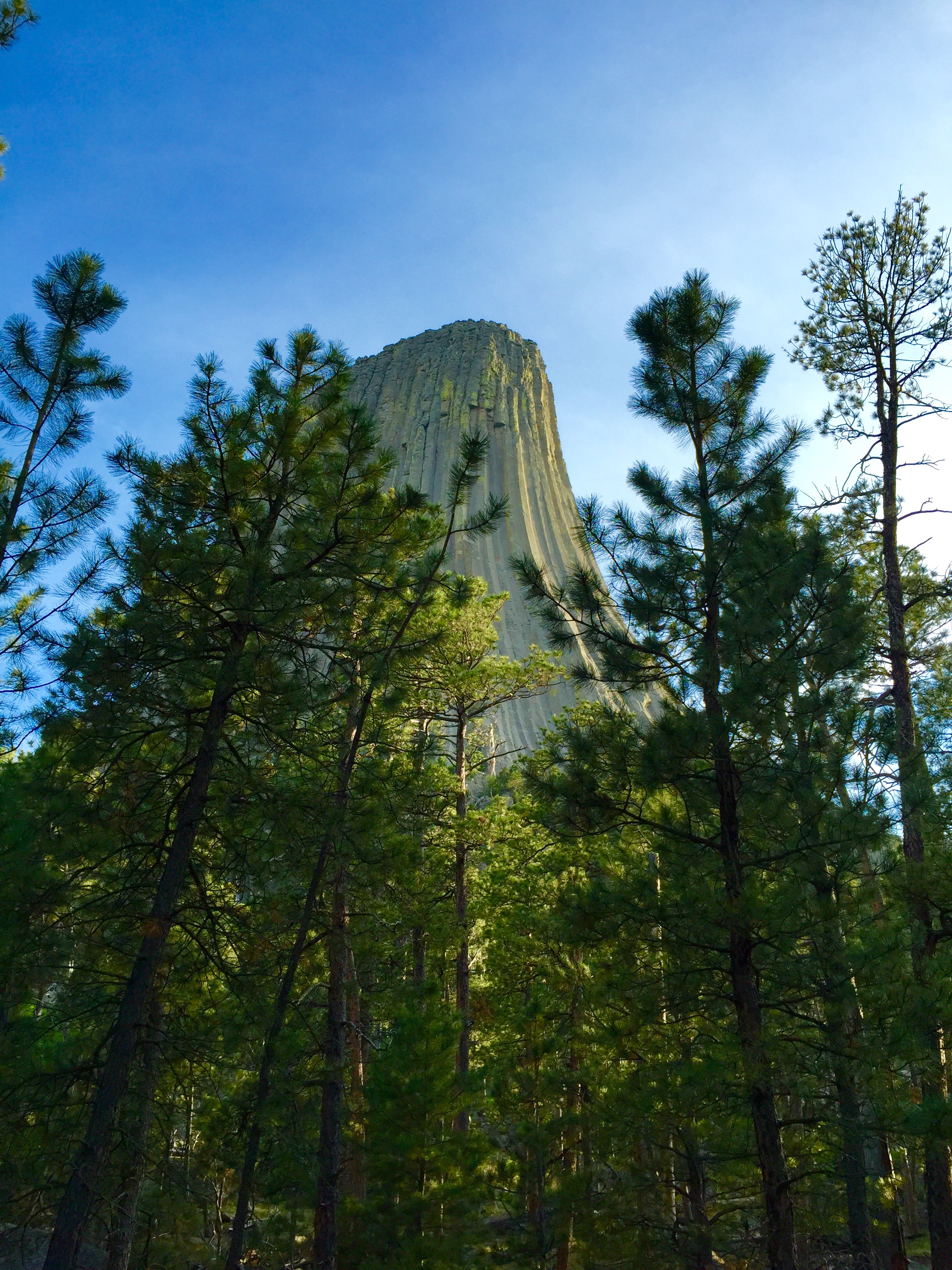
Annie and I awoke to an astonishing site! The gargantuan Tower that was clearly visible from our campsite just the night before . . .
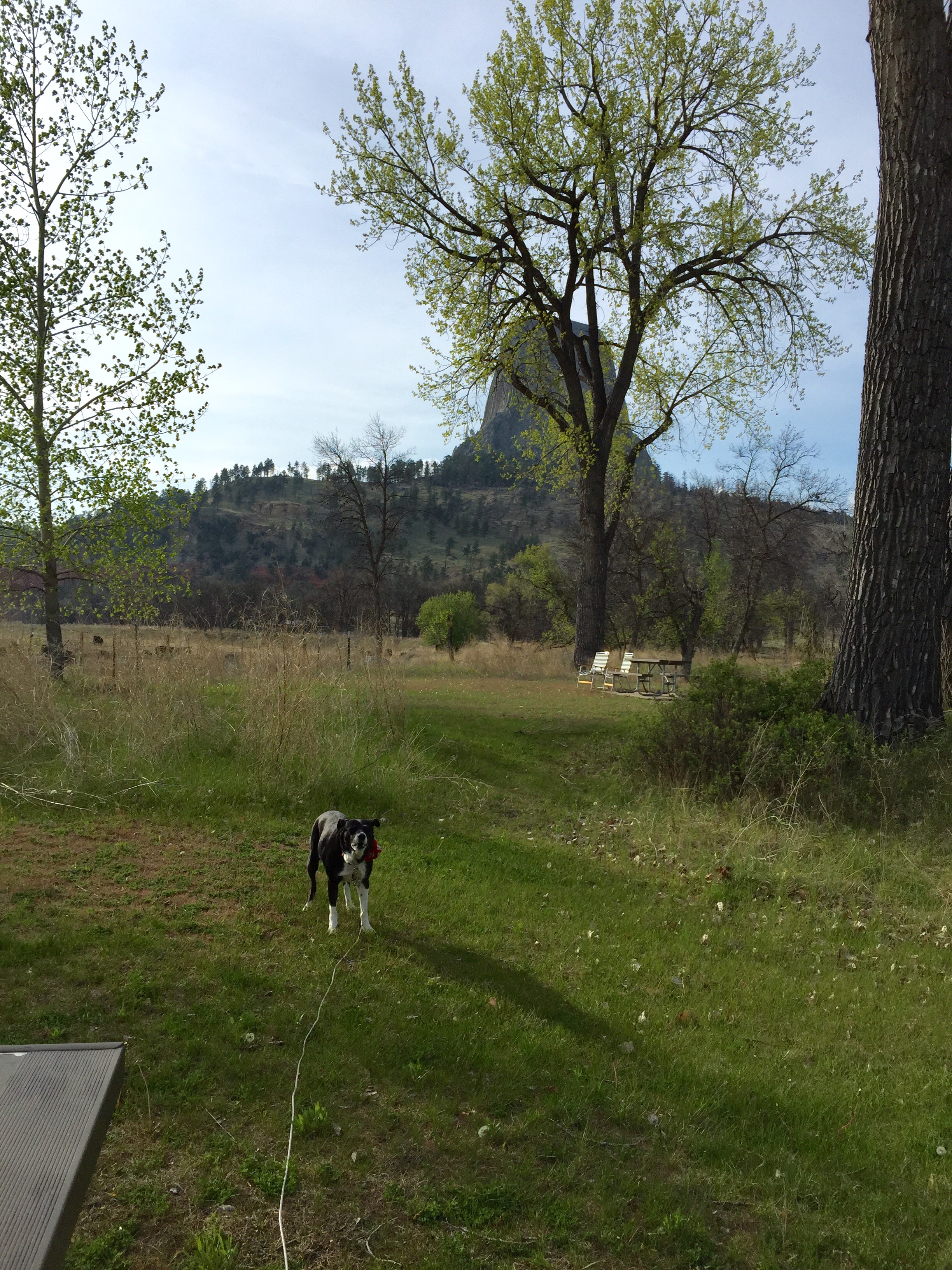
FullSizeRender (1214) - Copy

HAD VANISHED!!

FullSizeRender (1246) - Copy          FullSizeRender (1247) - Copy

What diabolical sorcery, what wicked intent, what fresh hell could this be?!

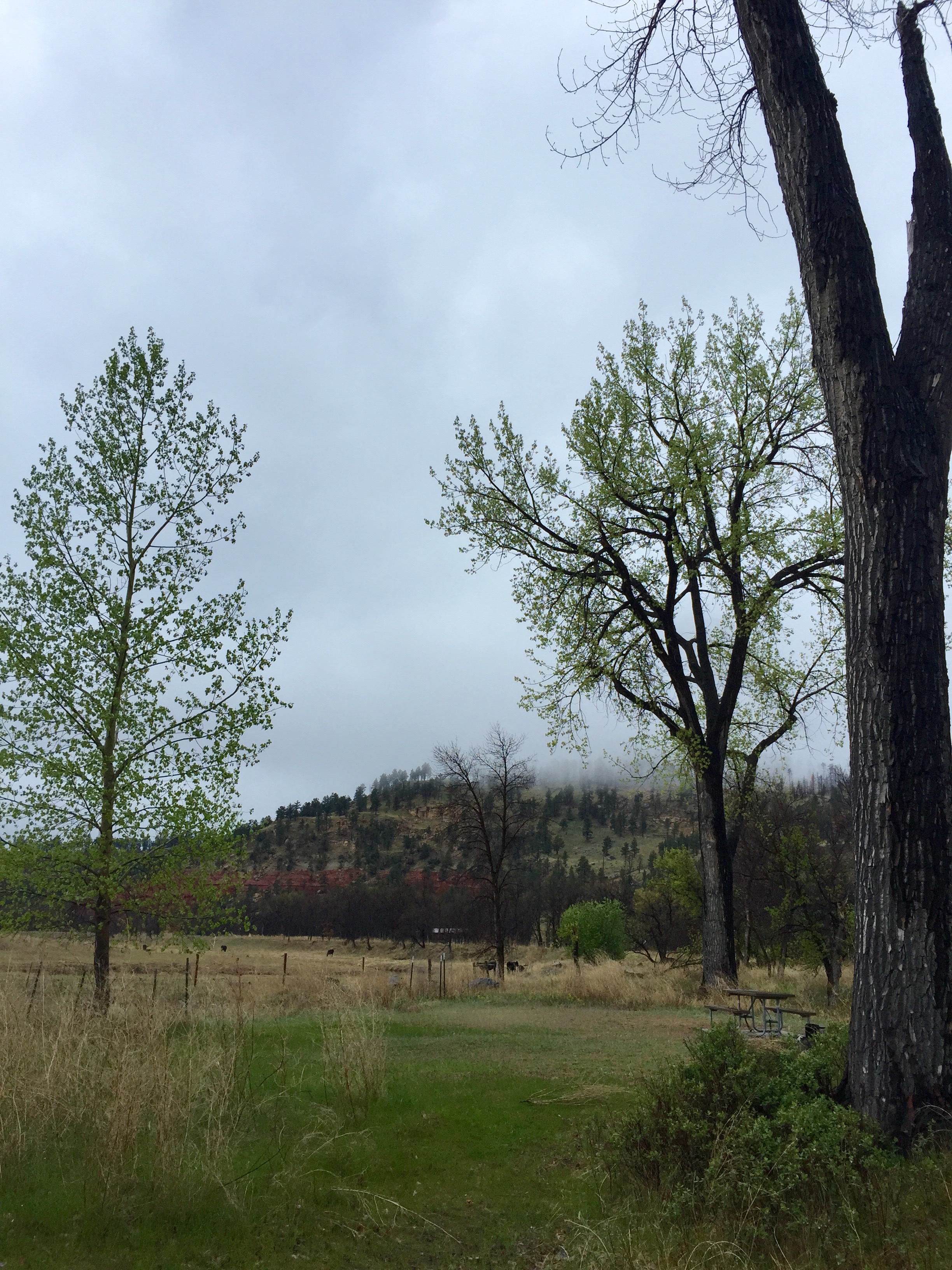
Oh, it was just the fog.

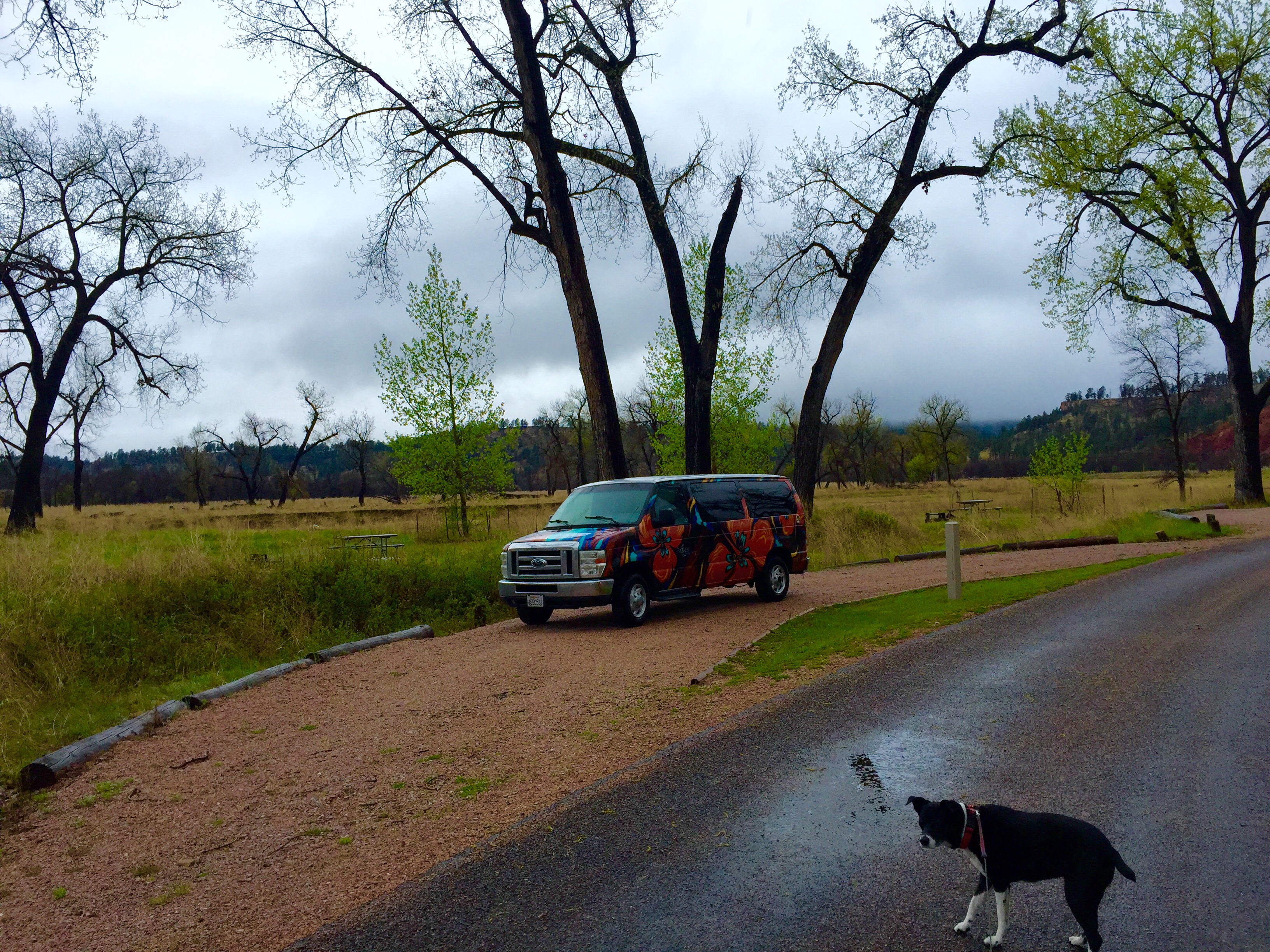
The mystery solved and the damp chill oppressively pervading the campsite, we quickly determined that the best course of action was to snuggle back into our sleeping bag and have a lazy morning. (We excel at those.)

FullSizeRender (1245) - Copy

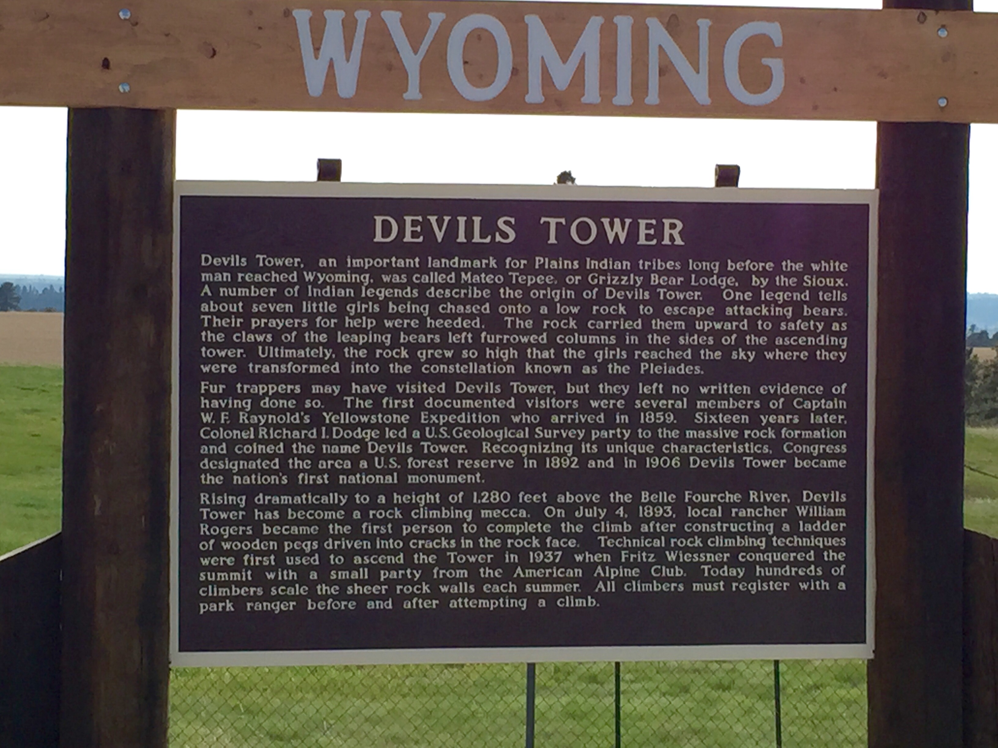
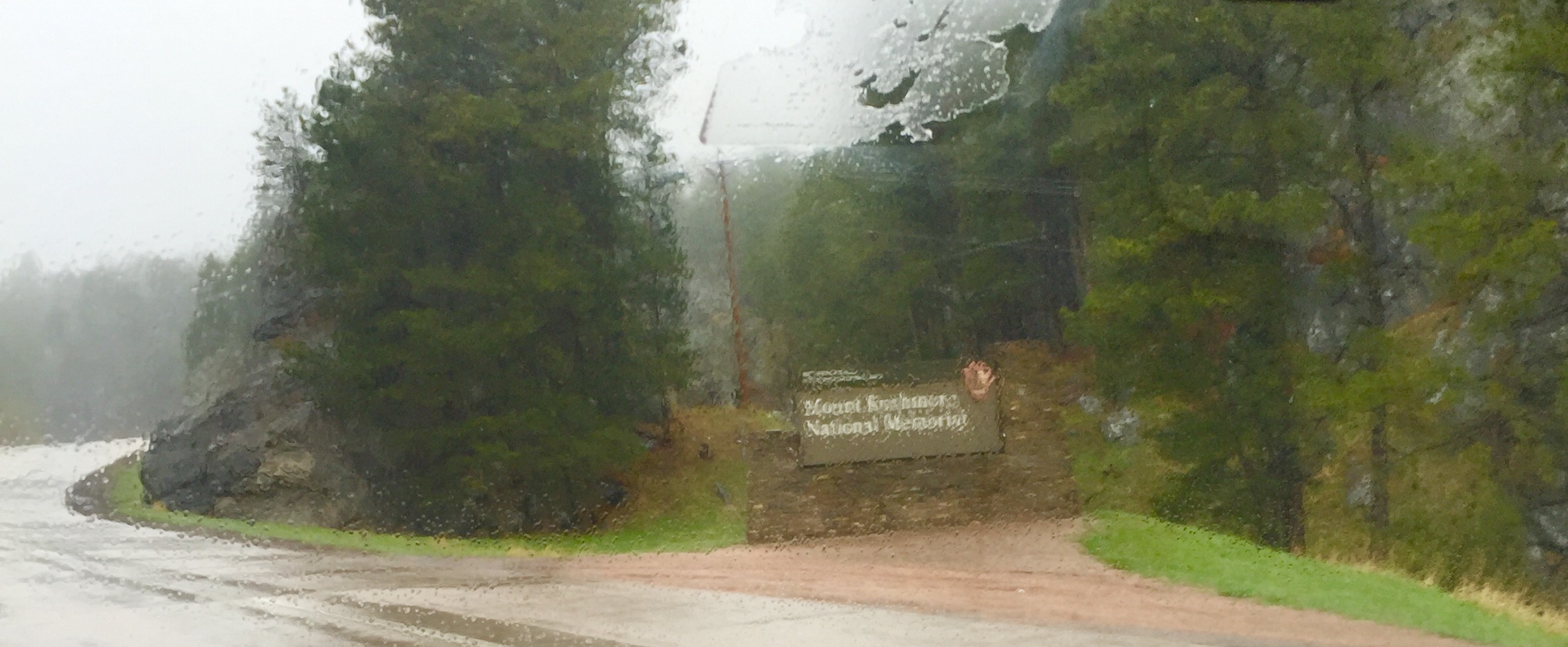
Eventually we rallied and made our way back to the Tower proper so that I could peruse the gift shop which had been closed the previous evening. It was rainy and foggy and a busload of Japanese tourists had just flooded the parking lot and I knew the serenity I had encountered there only hours before would have vanished.Timing, they say, really is everything.

FullSizeRender - Copy (421)

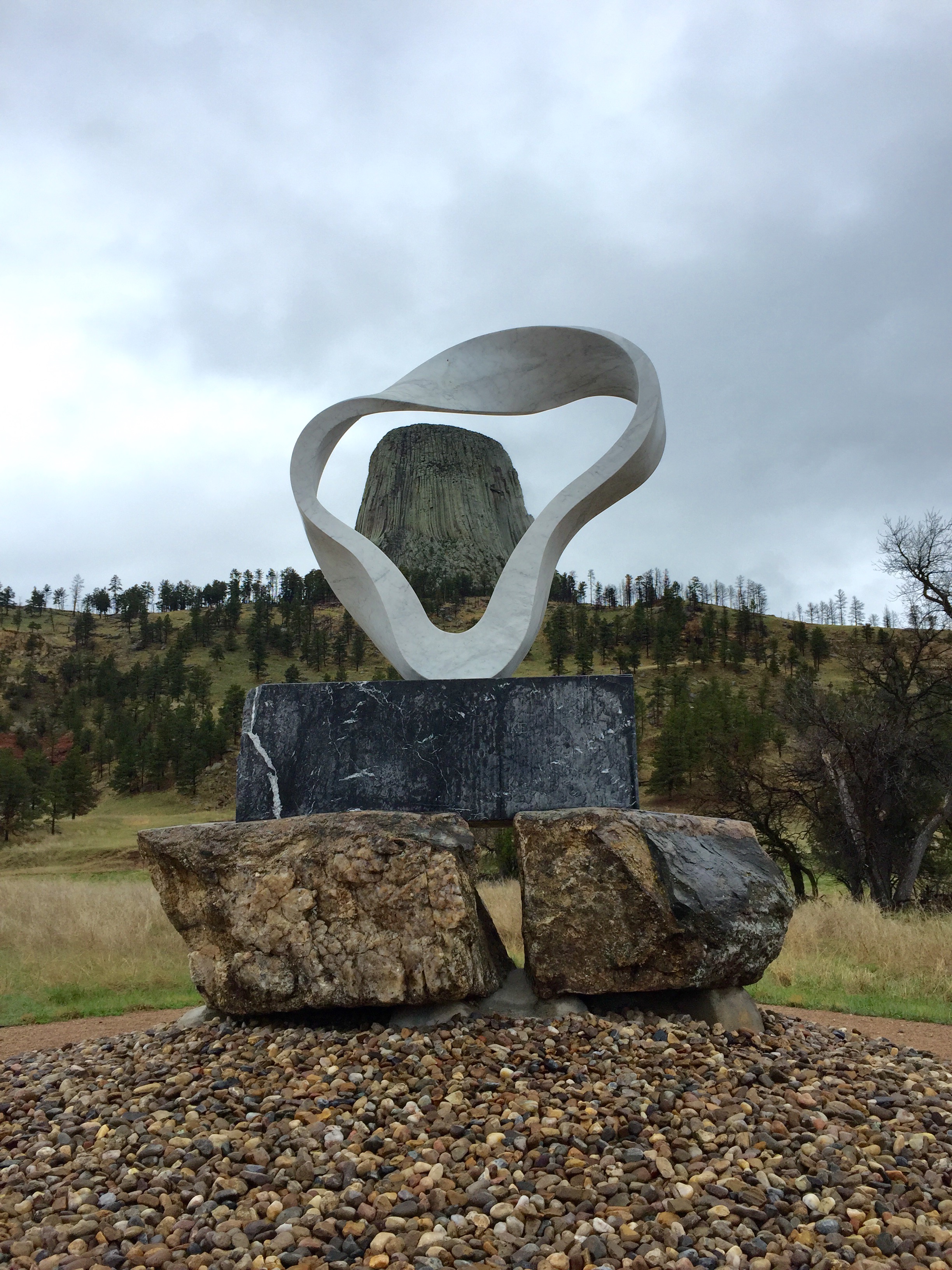
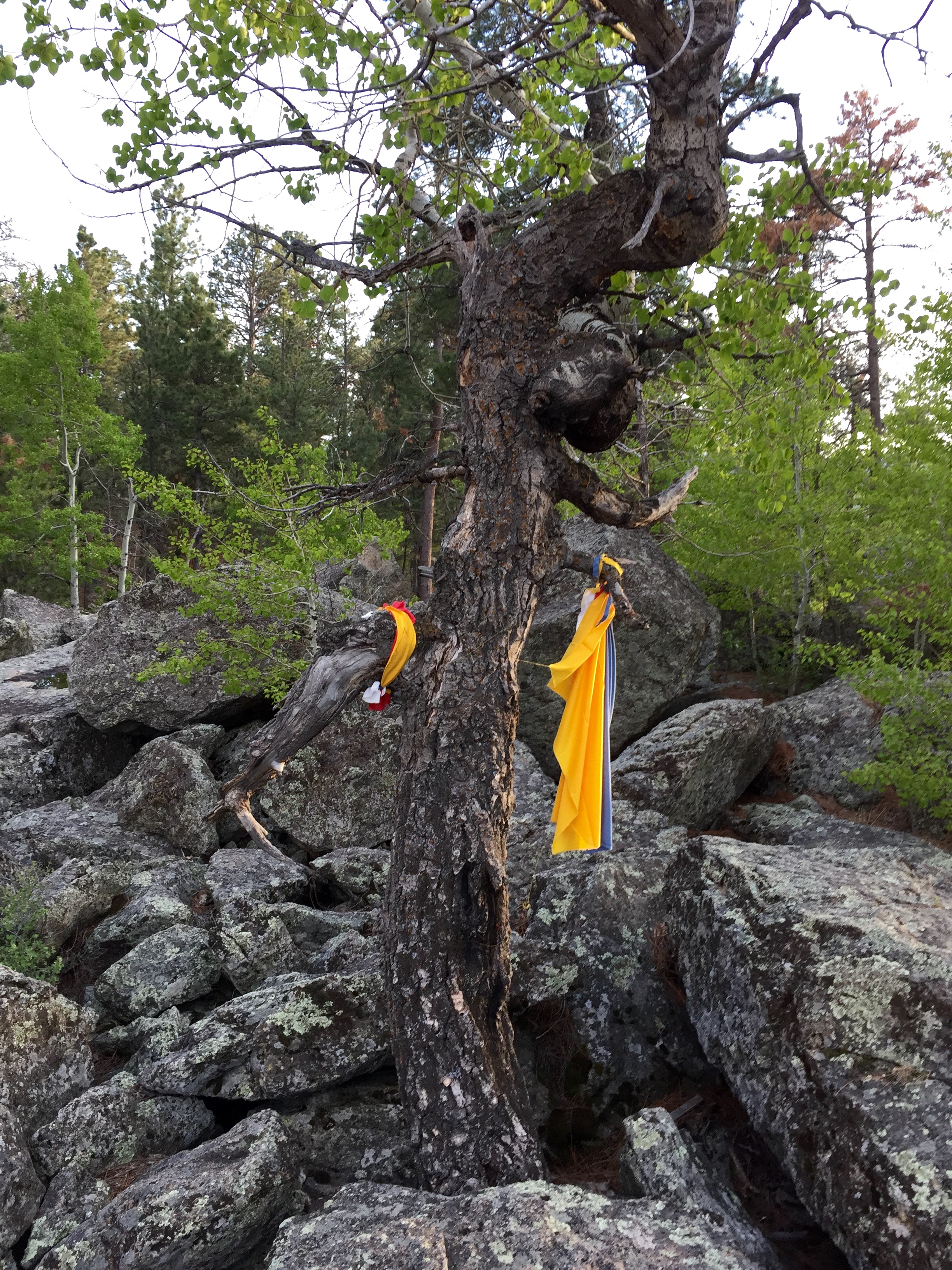
On the way out of the monument site we stopped to visit this super cool World Peace Sculpture entitled Wind Circle.  When viewed from the appropriate angle a circle of smoke, as though blown from a peace pipe, rises into the air to encircle the Tower within its protection. The artwork was created by internationally renowned Japanese sculptor Junkyu Muto who has also placed works of art at several culturally significant areas of the world, including the Vatican and the Bodhi Tree in India. As an additional gesture of coming together, the pieces of granite at the base were brought in from the nearby Crazy Horse Memorial.

FullSizeRender (1244) - Copy

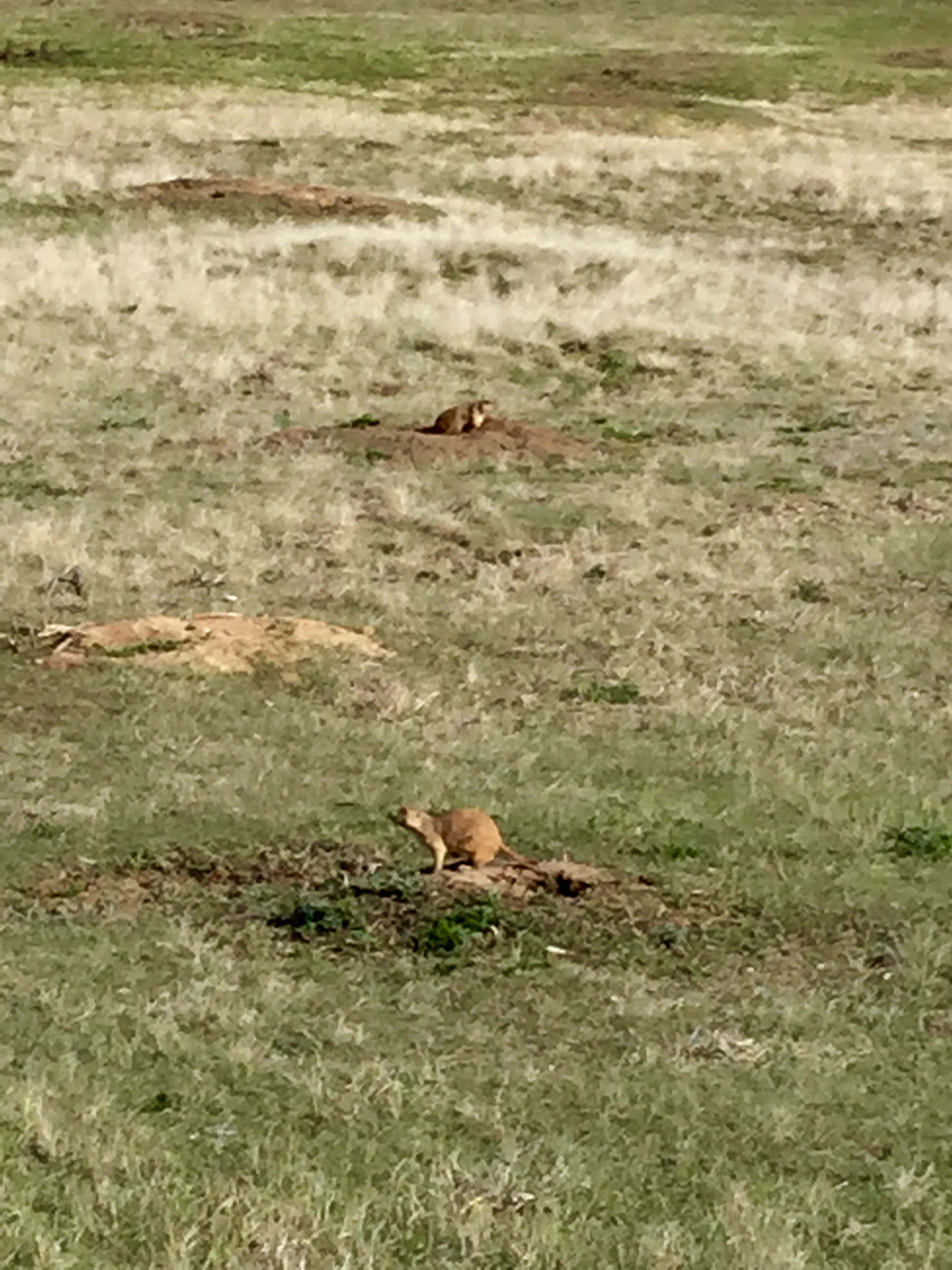
Turning 180 degrees from my view of the Wind Circle I came face to furry face with yet another prairie dog town. The fog and drizzle made the cuties even more difficult to photograph than before, but they sure did have a lot to say.

FullSizeRender (1252) - Copy

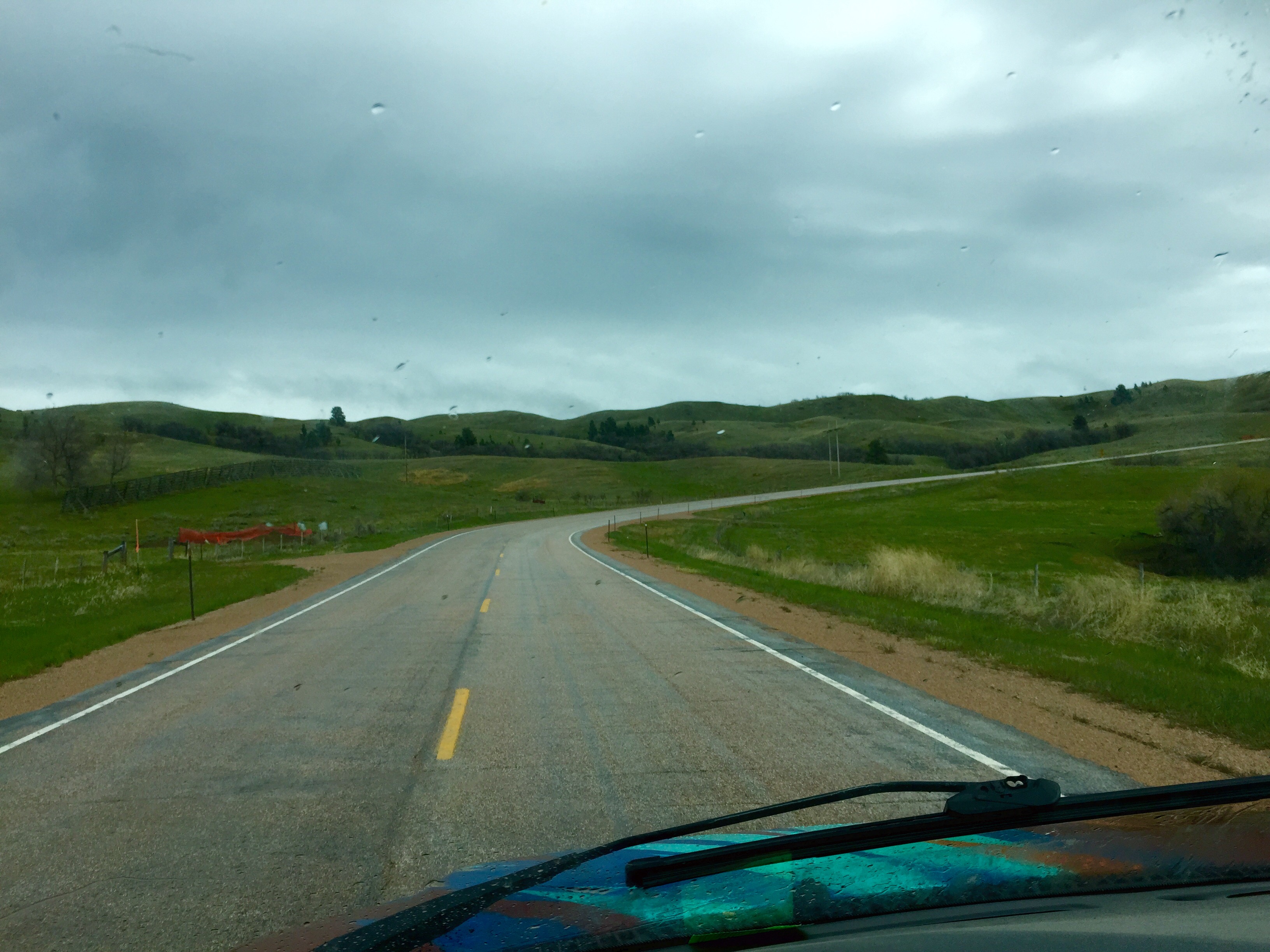
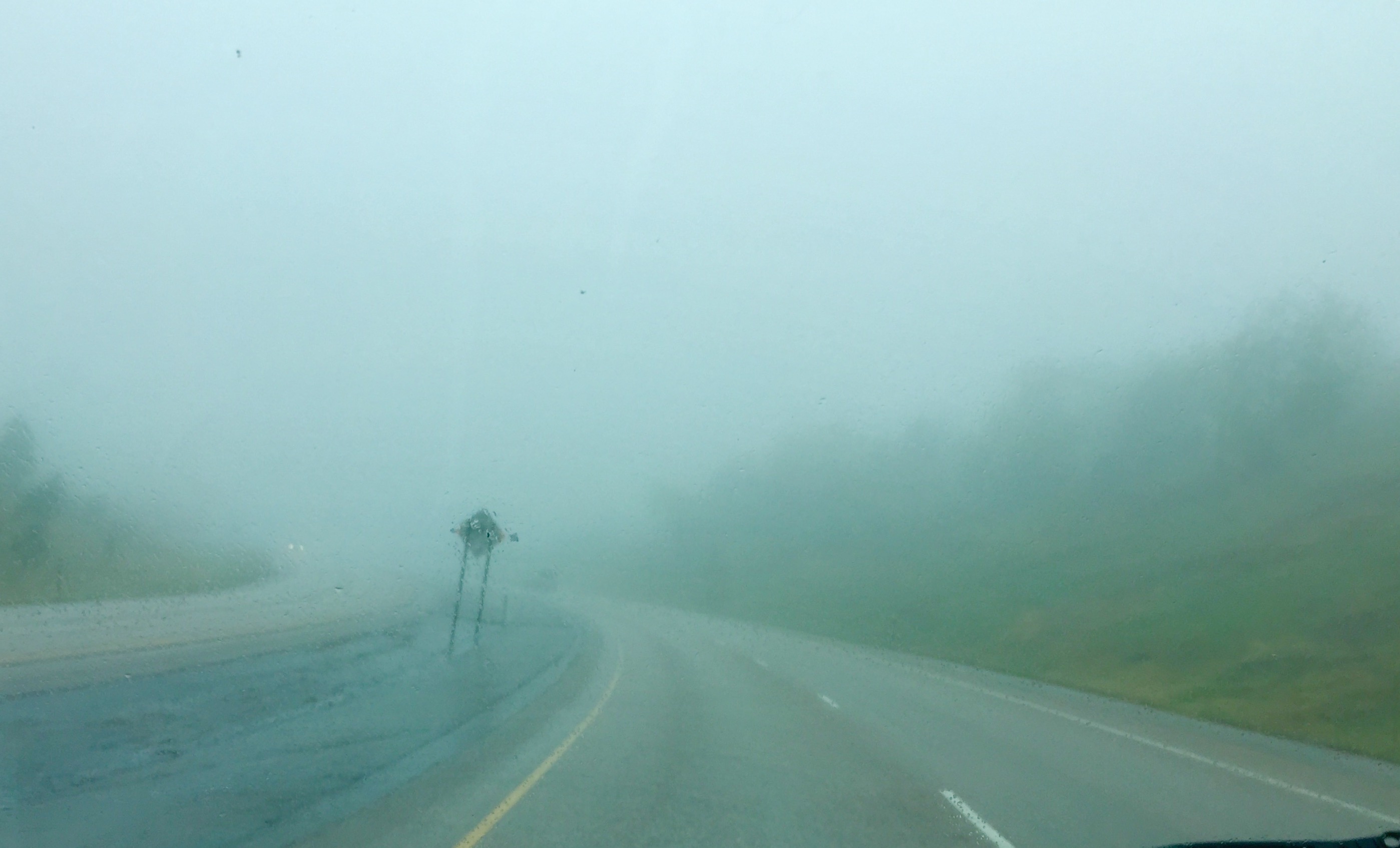
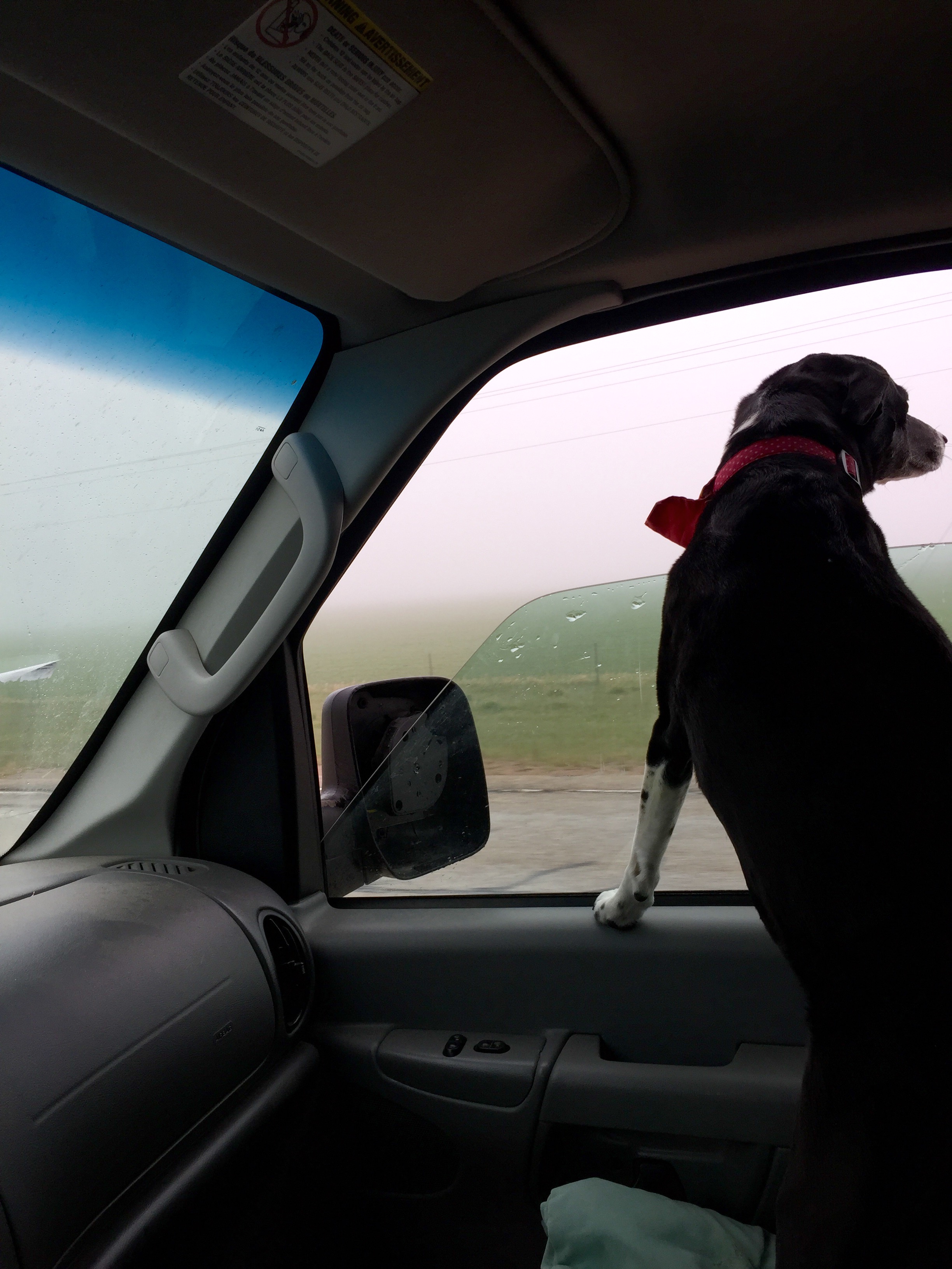
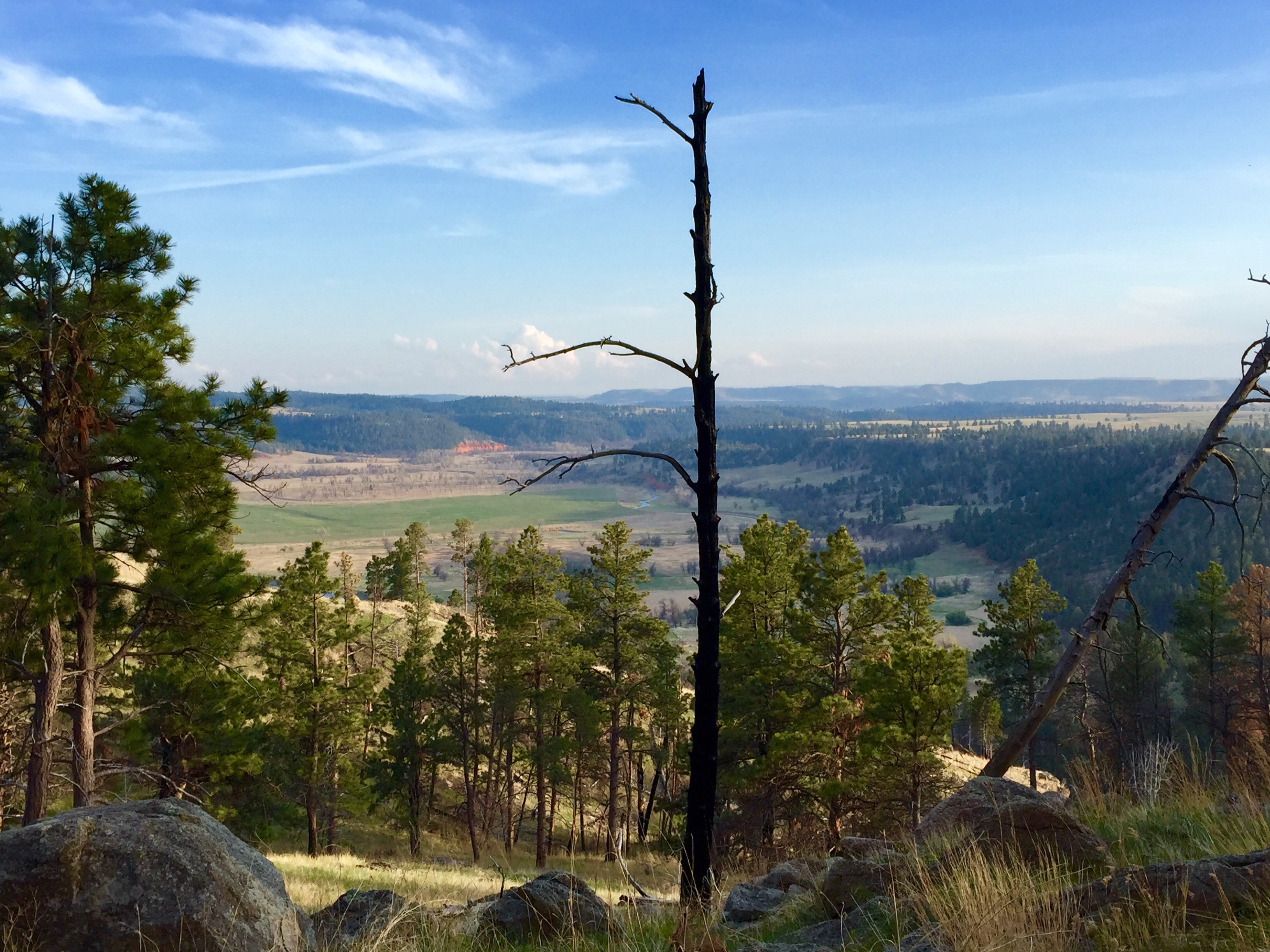
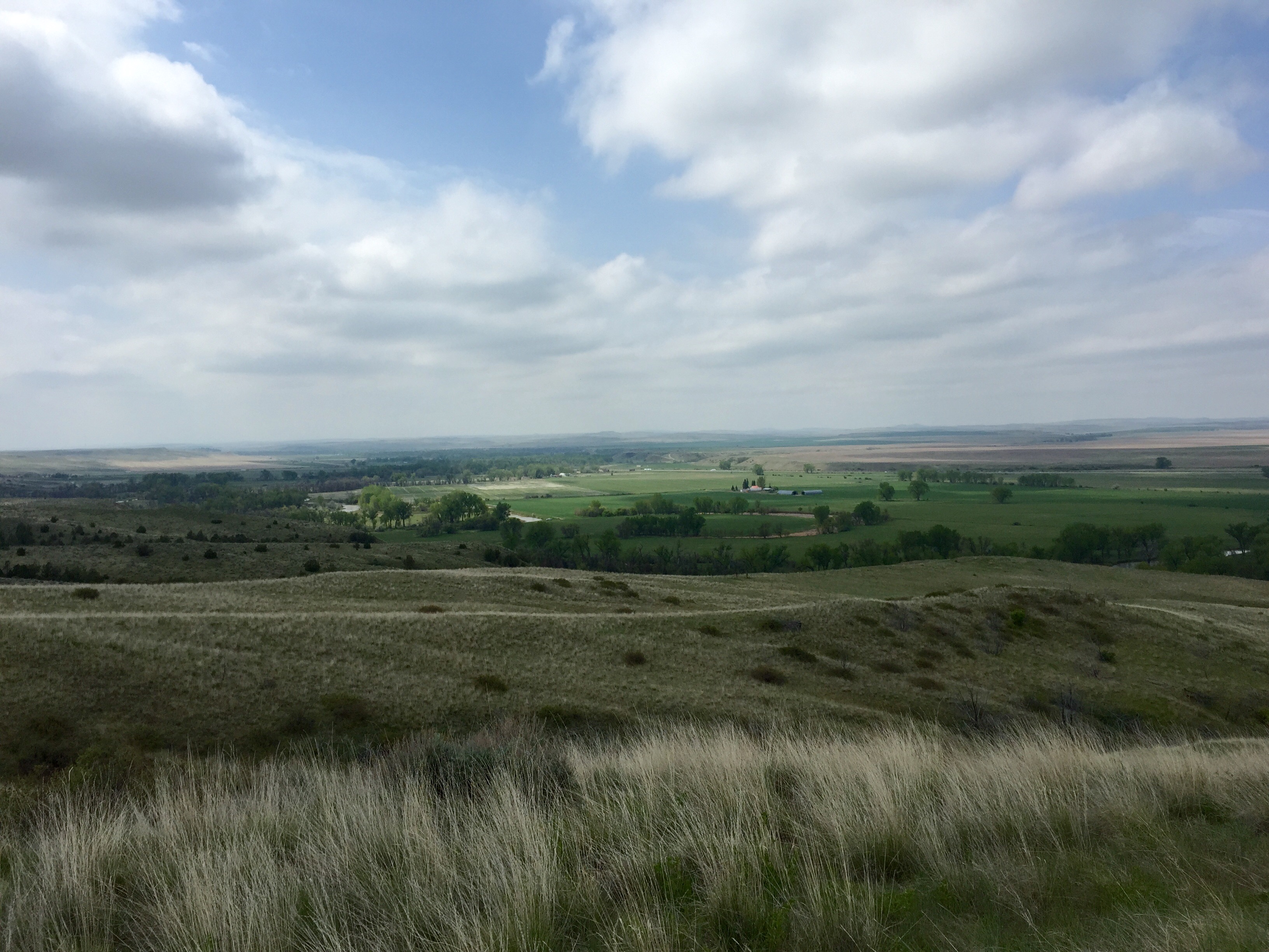
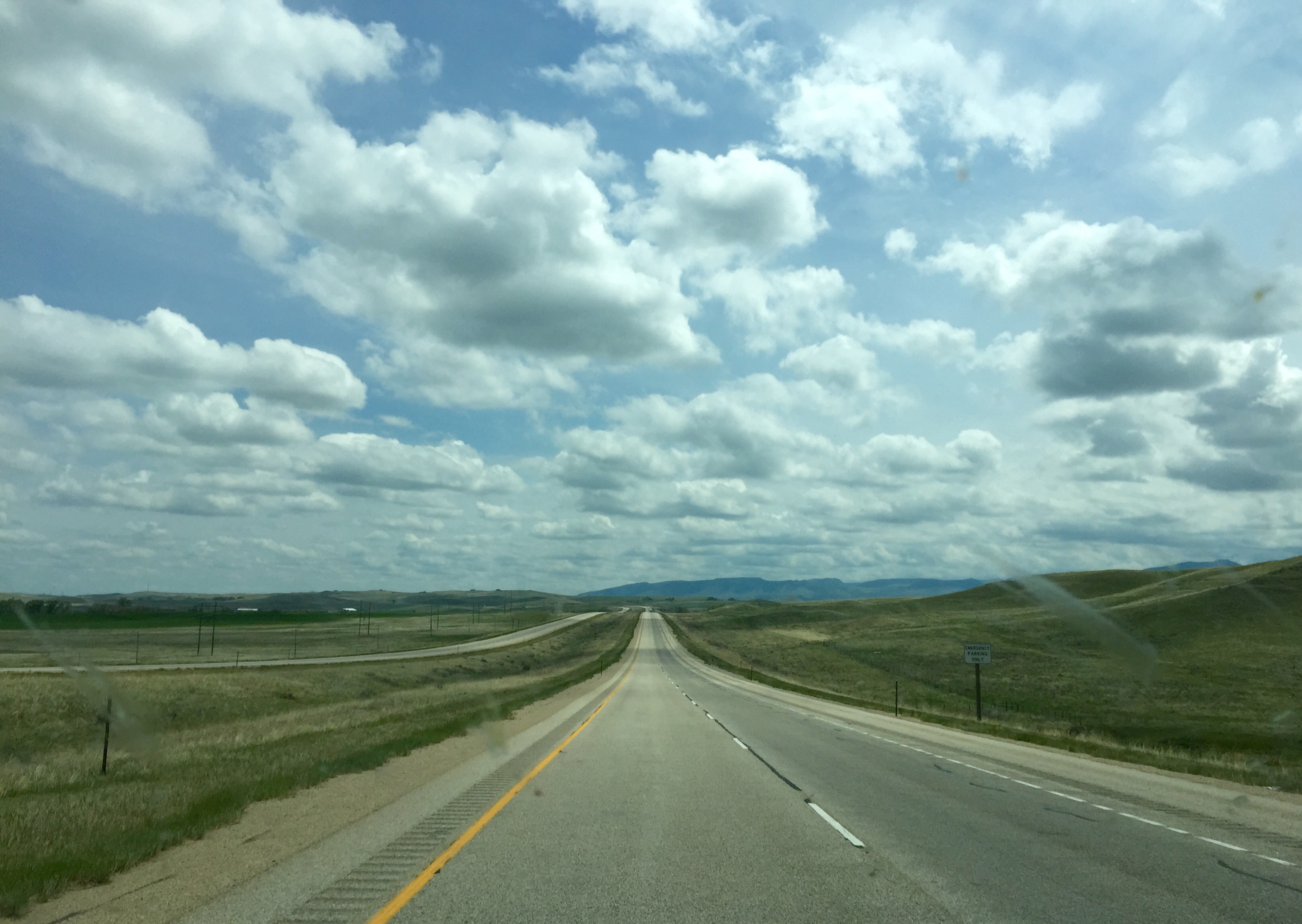
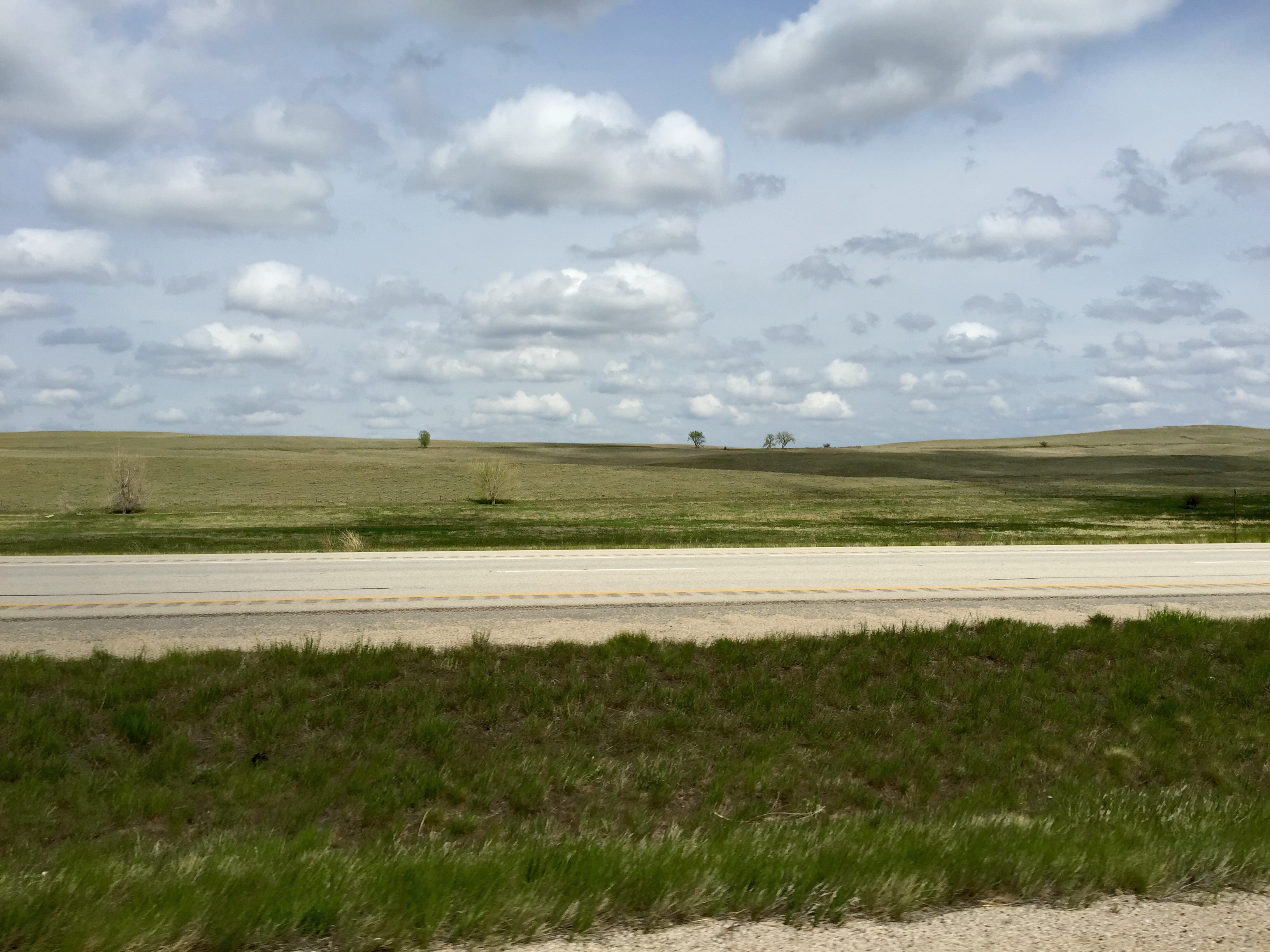
At last the time had come to saddle up and make our way Eastward Ho with the sky pressed down close upon us. Patches of fog drifted in and out. Pockets of rain passed around us. The day was gray and bleak.

IMG_5979          FullSizeRender (1241) - Copy

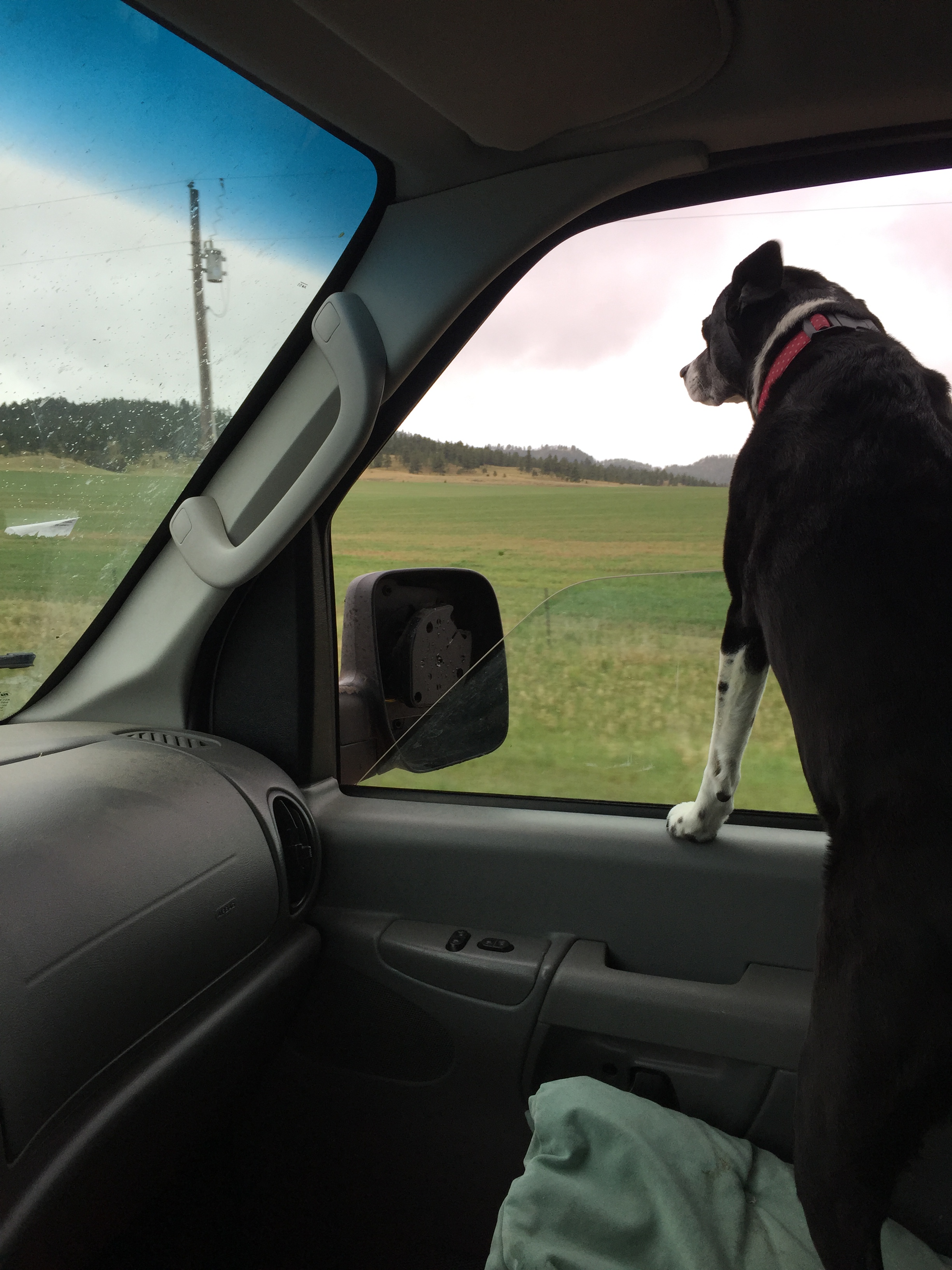
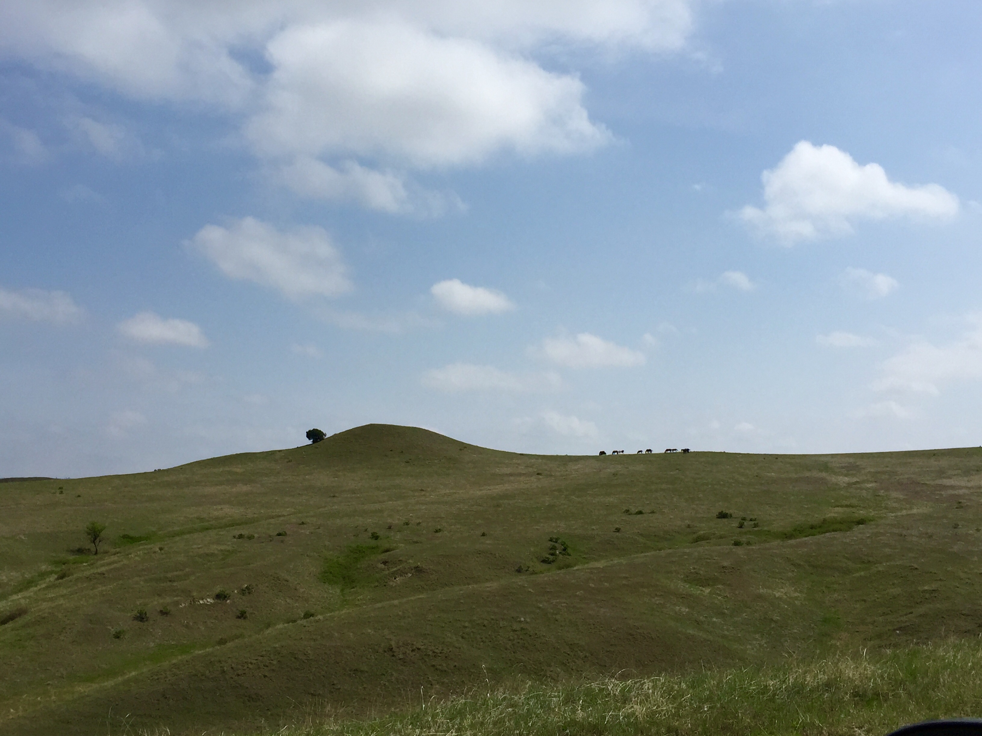
But there was beauty in the bleak. The Black Hills scenery looked like a rumpled green quilt stretched out before us.

FullSizeRender (1240) - Copy.         FullSizeRender - Copy (420)

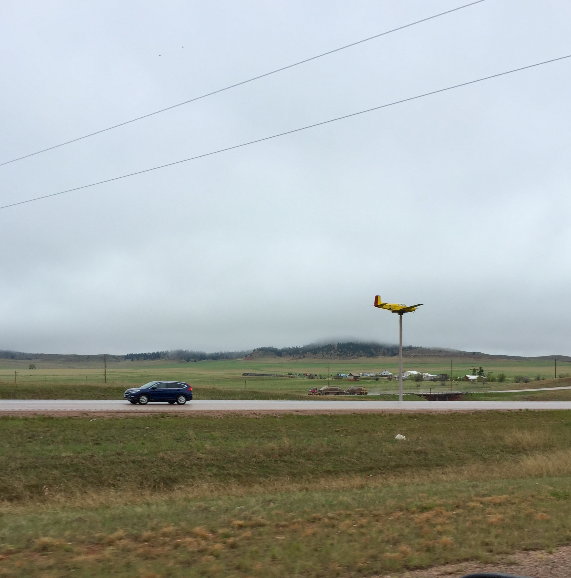
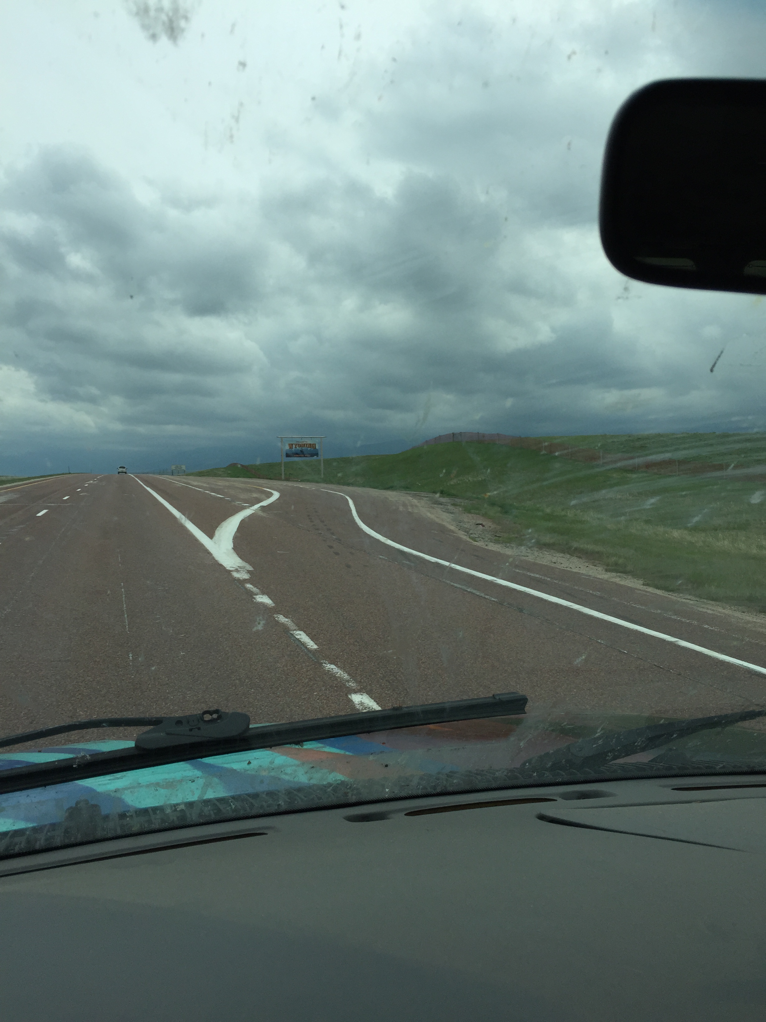
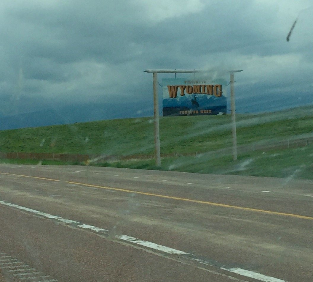
And Wyoming has interesting things scattered along its medians . . . like airplanes launching into the sky . . .

FullSizeRender (1239) - Copy

And random teepees . . .

FullSizeRender (1237) - Copy

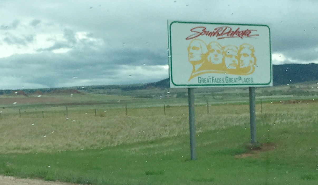
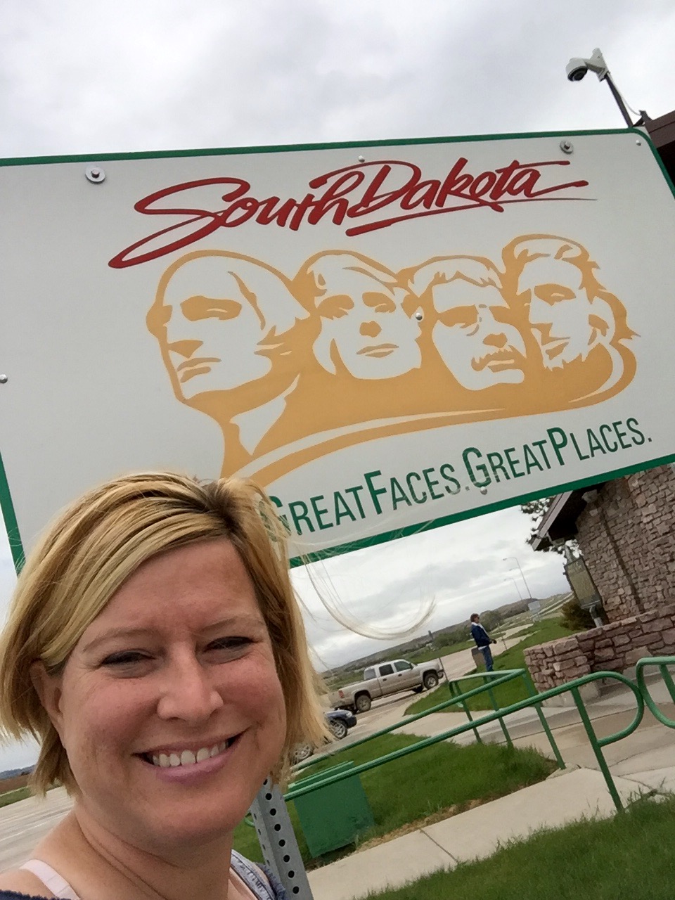
And finally…. SOUTH DAKOTA WE ARE IN YOU!

FullSizeRender - Copy (419).         FullSizeRender (1234) - Copy

You can see behind the sign that the Black Hills really do look black.

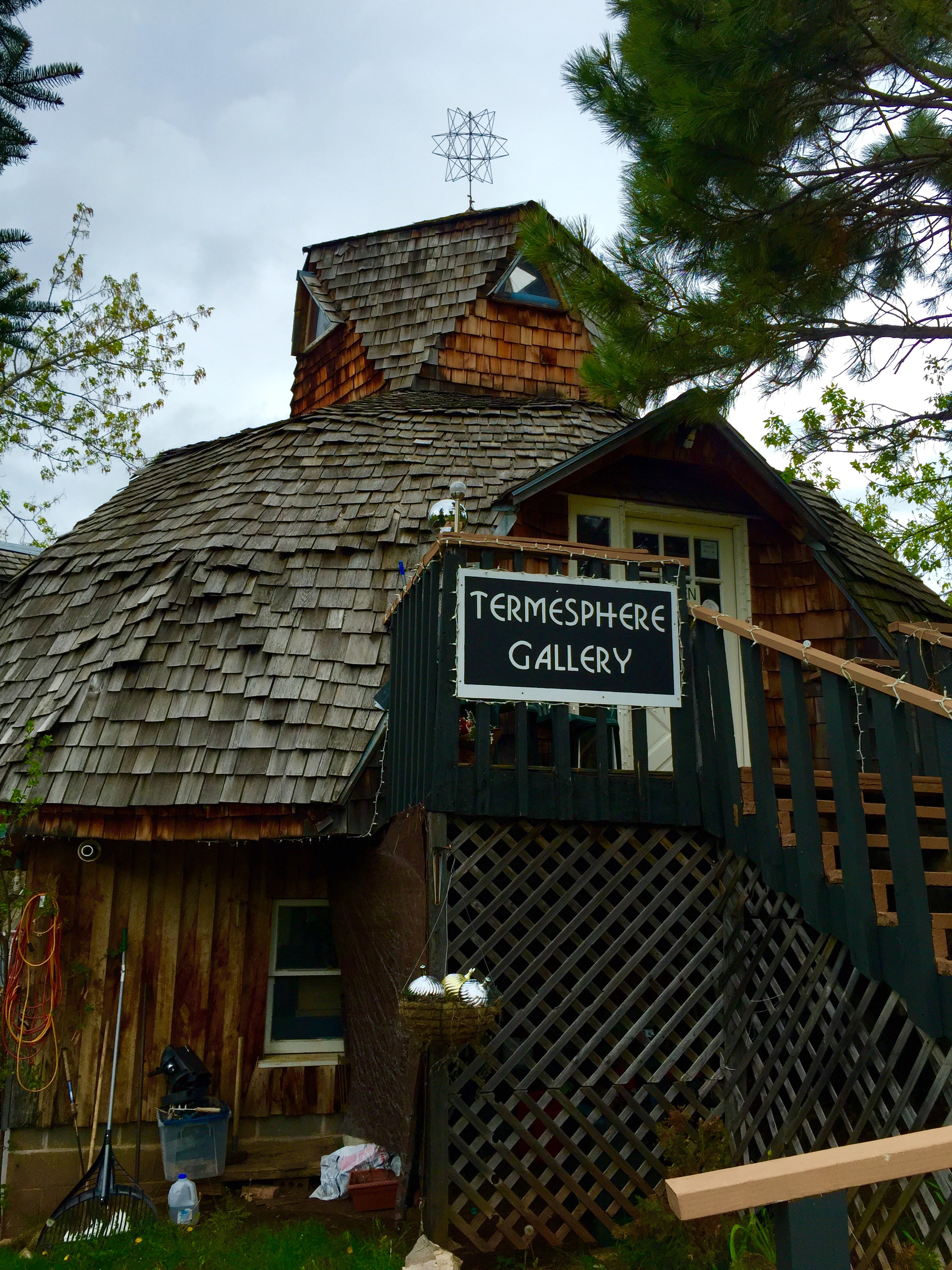
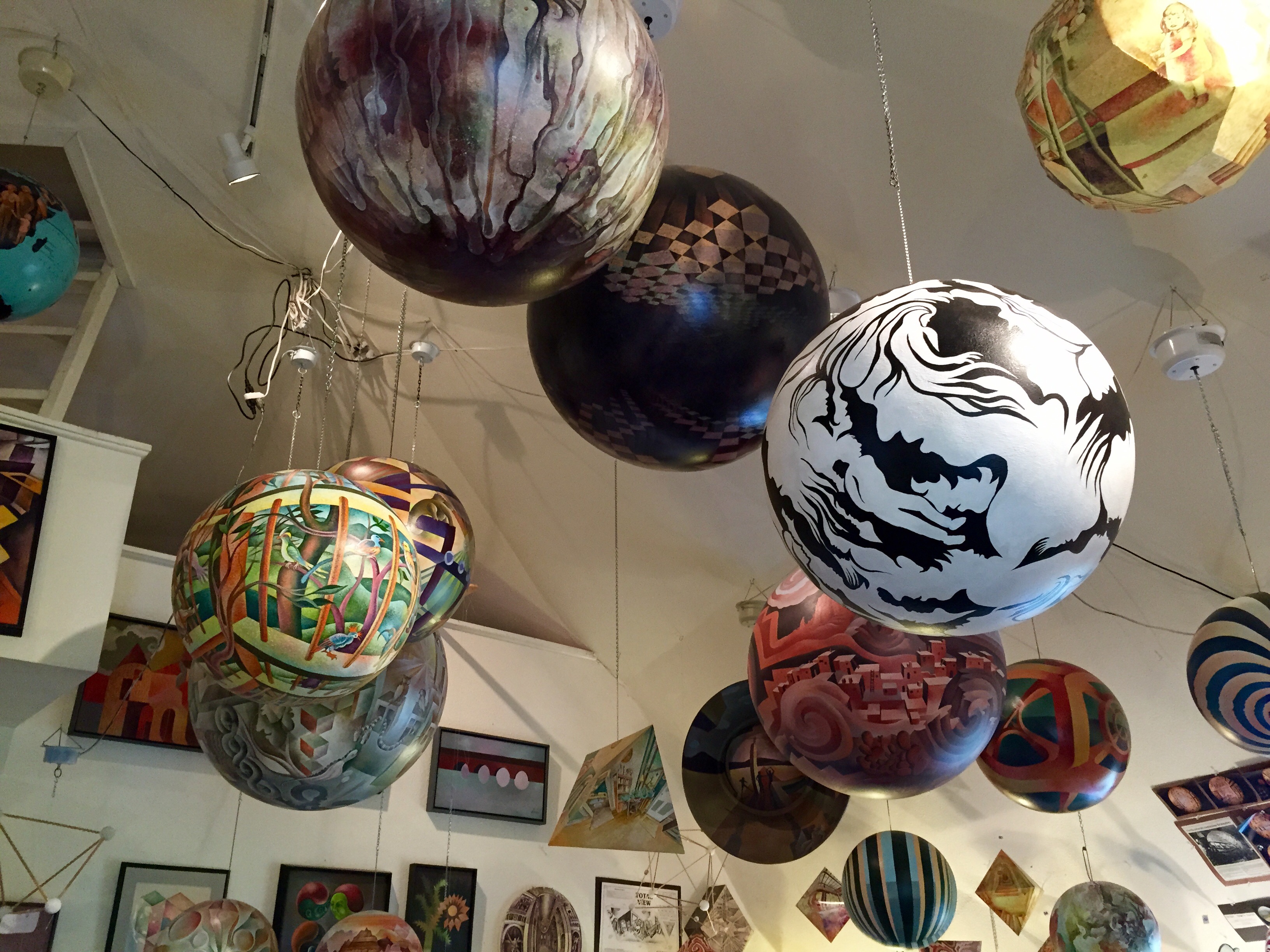
My first stop in South Dakota was an odd little art gallery that I had stumbled upon while researching my trip online.

FullSizeRender (1236) - Copy.         FullSizeRender (1233) - Copy

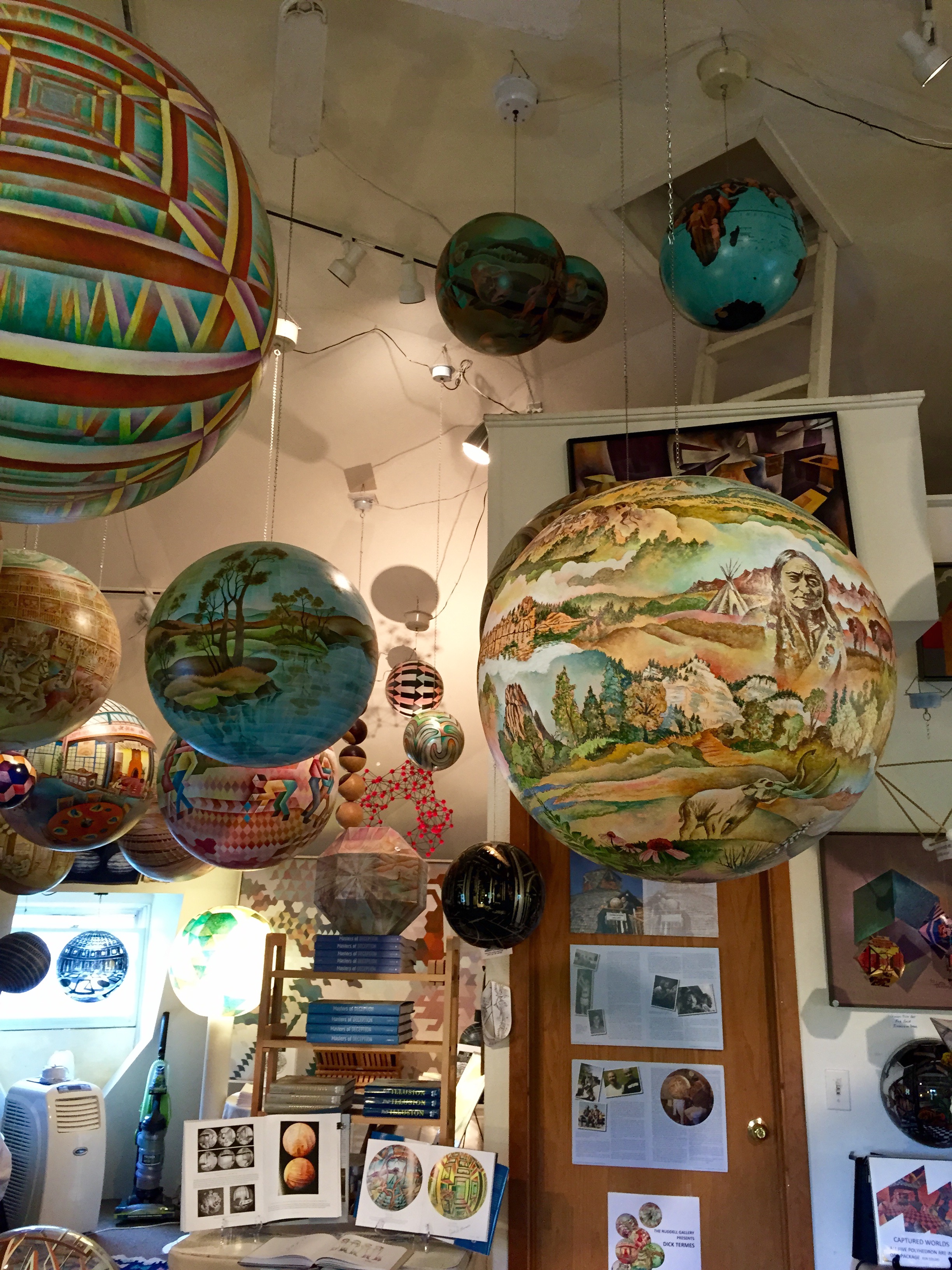
The Termesphere Gallery hosts the wok of American artist Dick Termes who paints incredibly detailed visions on spheres using a unique six-point perspective he created. Their style was inspired by his desire to paint the total picture. Termespheres are typically hung by small chains and rotated with electric ceiling motors so that as they turn, the complete world is revealed.  Although the image is painted on the outside of the convex sphere, the vantage point continuously changes. The rotation may also appear to reverse direction, giving the sensation that the viewer is inside the painting viewing the concave surface of the inside of the rotating sphere. They were amazing, and I even got to meet the artist!

FullSizeRender - Copy (423).         FullSizeRender (1251) - Copy

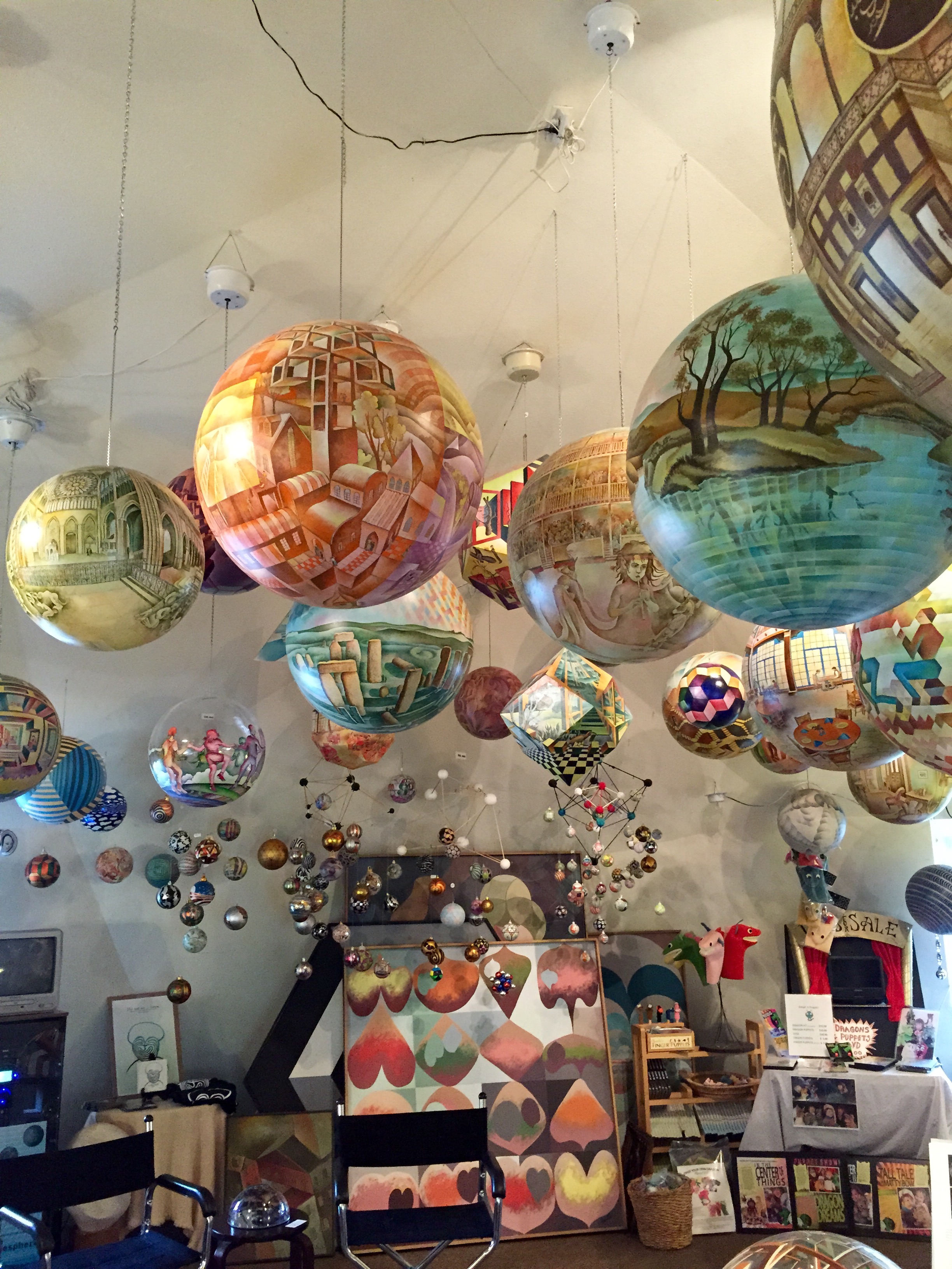
Unfortunately they were all well out of my price range, so we continued easing on down the road. It was getting to be well past lunchtime when I heeded the irresistible siren song of Cowboy Bagels! What could be better?

FullSizeRender (1250) - Copy

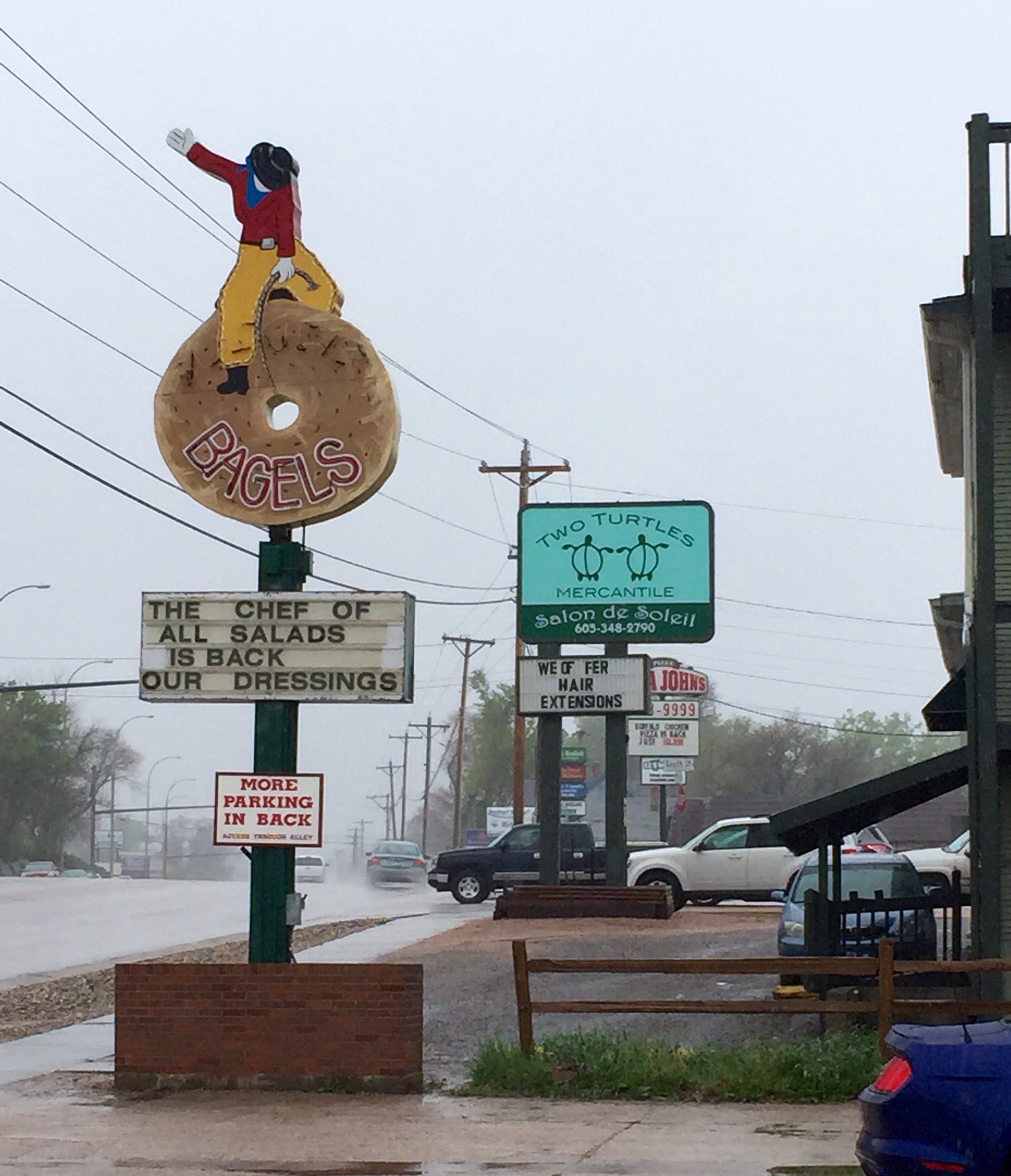
Only Cowboy Bagels was OUT OF BAGELS!!! Granted they did have a few Chocolate Chip or some similar monstrosity left, but real cowboys don’t eat Chocolate Chip bagels! You cowboy up with an Everything or an Onion, but NOT a Chocolate Chip, or even worse, Cinnamon! Even the Day Old bin was a bust. It was a bitter pill to swallow and I left there hungry and disgruntled and even more concerned about the fog that seemed to grow more ominous the closer we got to our destination . . .

FullSizeRender (1249) - Copy.         FullSizeRender (1238) - Copy

And what was our destination you ask? Anything fog unfriendly by any chance??

FullSizeRender (1248) - Copy

ONLY MOUNT FREAKING RUSHMORE!!! No, nothing at all there that might require a strong sight line to truly appreciate. Nothing at all! And it’s not like it was ELEVEN DOLLARS to get in and my handy dandy National Park All Access pass was worth bupkiss becauase they called it a parking fee rather than an entrance fee. (Oh wait, actually it was exactly like that!) But I’m sure it will all be worth it to bask in the majestic glory of the giant faces looming over me right? Right?

FullSizeRender - Copy (422)

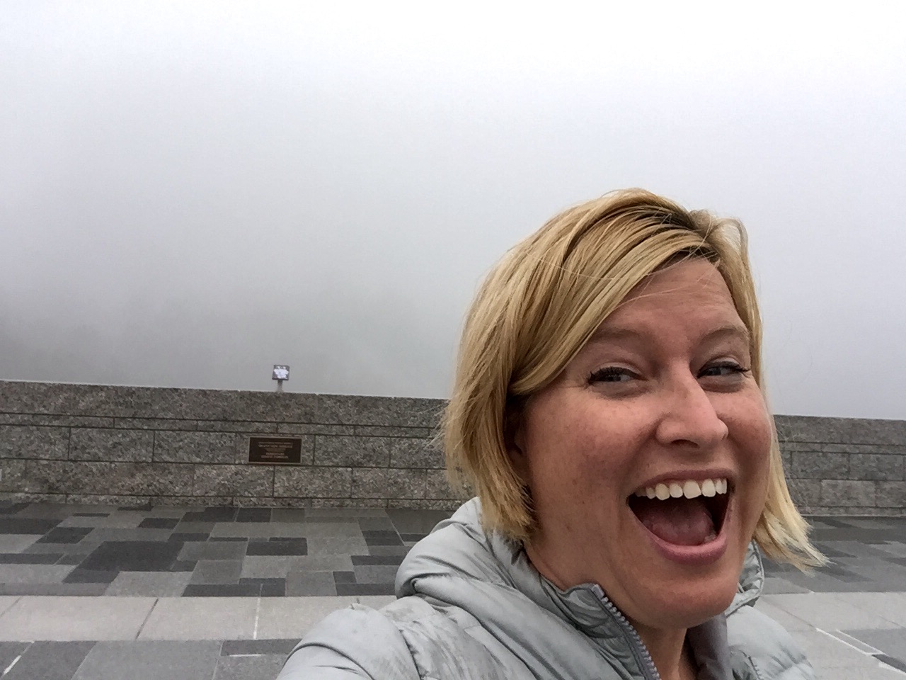
WTF is this Mount Rushmore? I’ve been robbed! (On the upside, I got a great vantage point and no lines in the gift shop.) The fog was so dense, I kid you not, when I first got there I took selfies of myself FACING THE WRONG WAY! I went in the Visitors Center and said: “It’s to the left correct?” No, no, it’s to the right. It was cold and clammy and I was basically alone on a concrete plaza staring at nothing. Not only that, I couldn’t even bring Annie out to share in the joy as there was a NO DOGS sign about every three feet. Never mind the fact that there was absolutely nothing a dog could harm there.

My spirits as dampened as my coat, I headed back down to the surrounding town of Keystone to have a look around.

FullSizeRender (1232) - Copy.         FullSizeRender (1231) - Copy

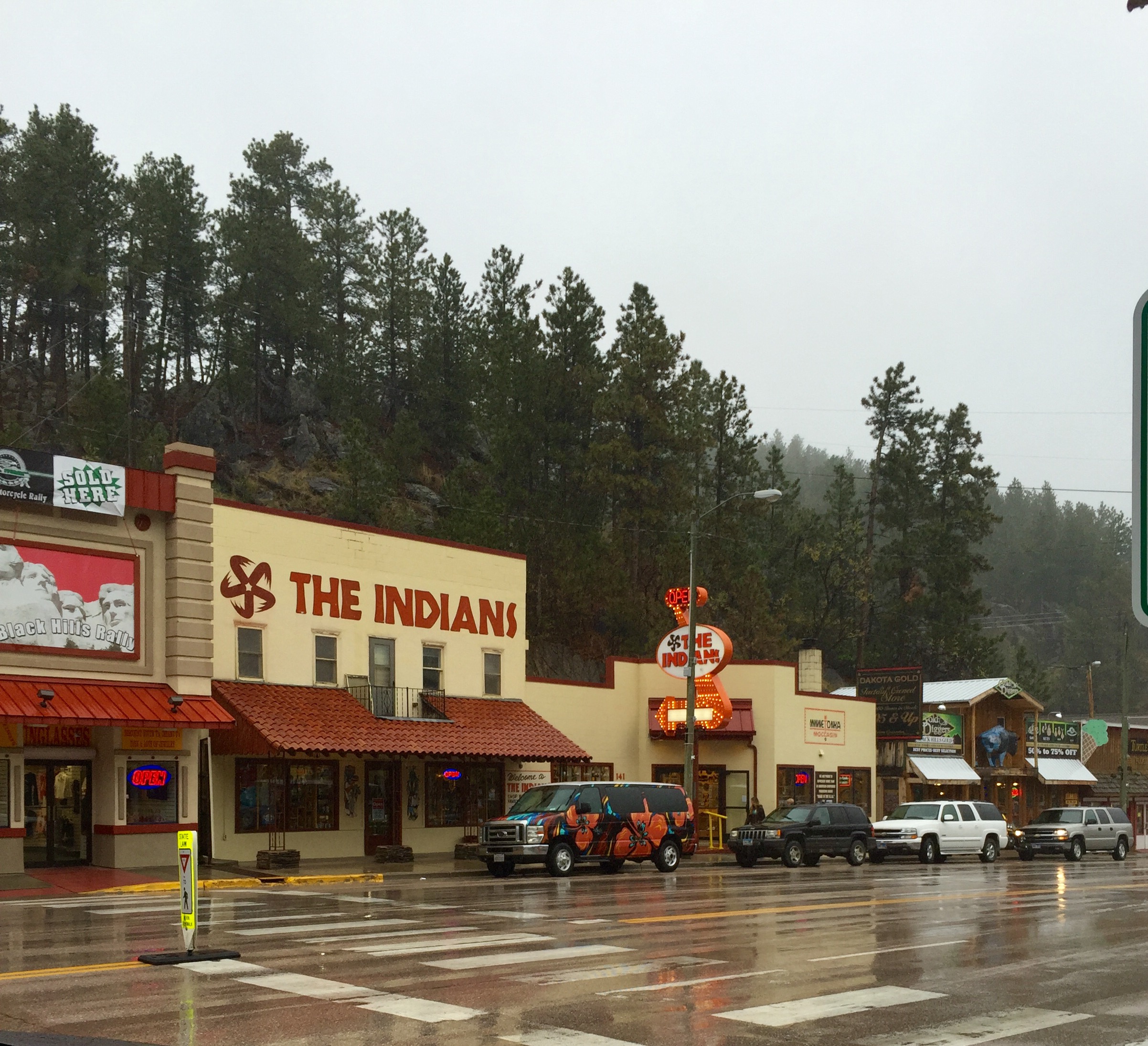
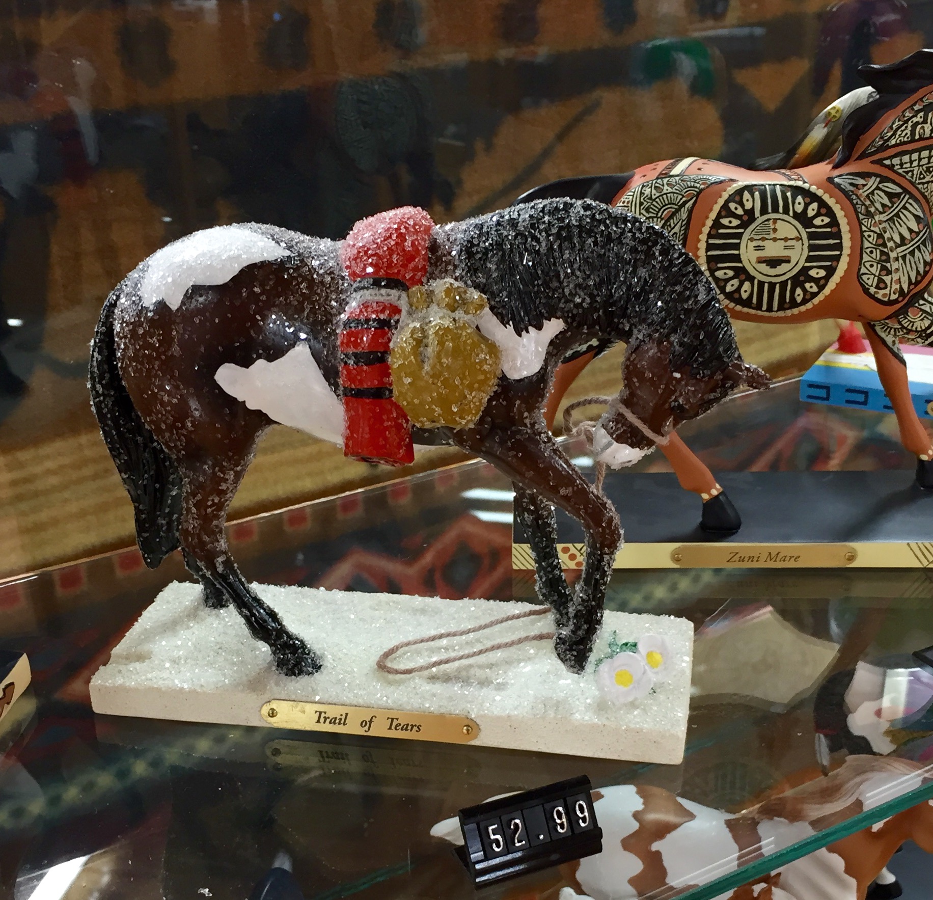
There was a mixture of stores selling authentic Native American handicrafts alongside cheesy souvenir shops. It took all my fortitude to pass up the $53 plastic horse enrobed in what, judging by the placard, I could only assume was a “Trail of Snow Glitter Tears”.

FullSizeRender (1230) - Copy

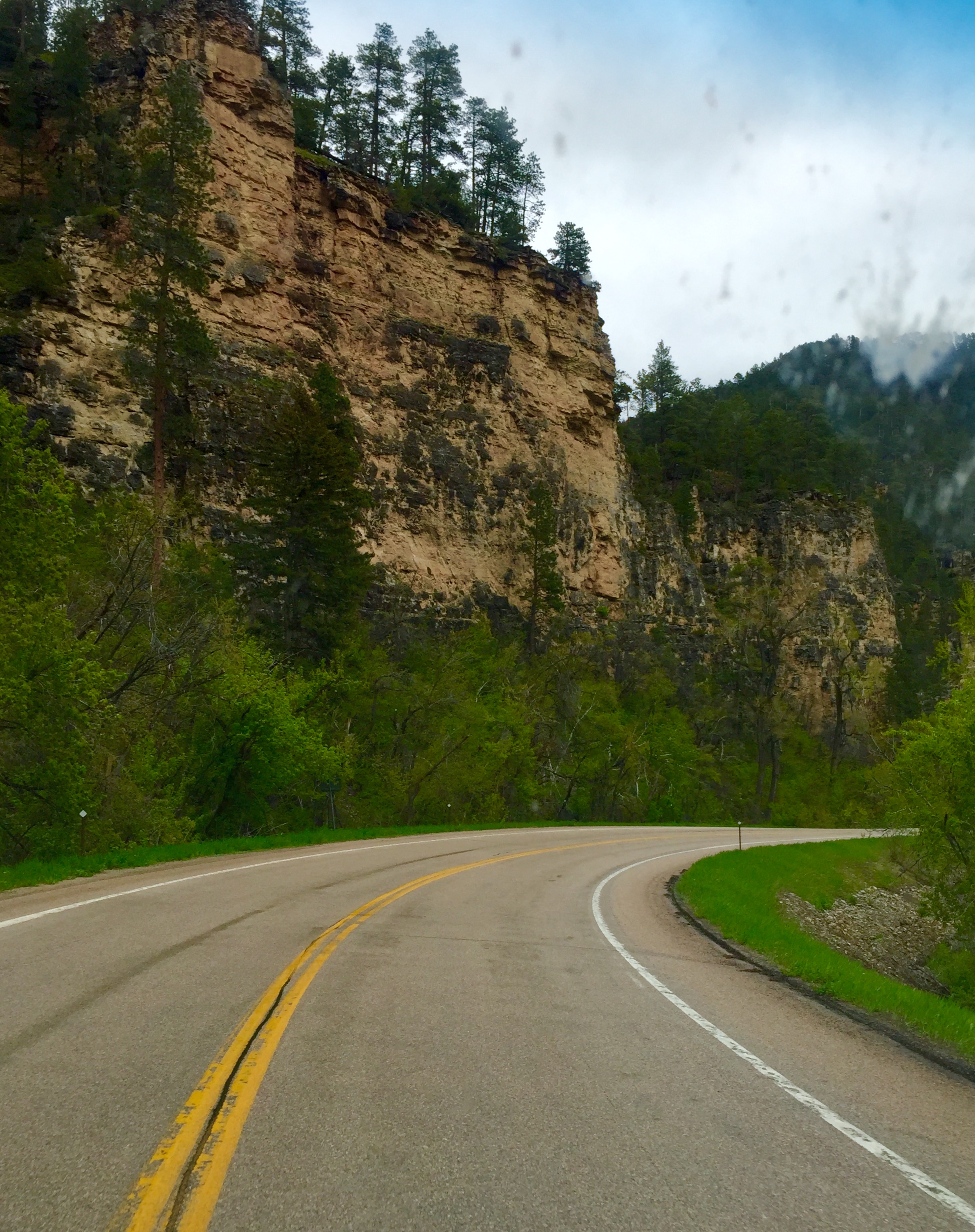
The rain fell harder, so it seemed prudent to set about finding a place to stay for the night. Luckily, my targeted destination was only about 45 minutes away, which meant that, weather permitting, I could take another stab at the Disappearing Presidents tomorrow. We set our course for Custer State Park, traveling down the twisty turny super scenic Iron Mountain Road.

FullSizeRender - Copy (418)

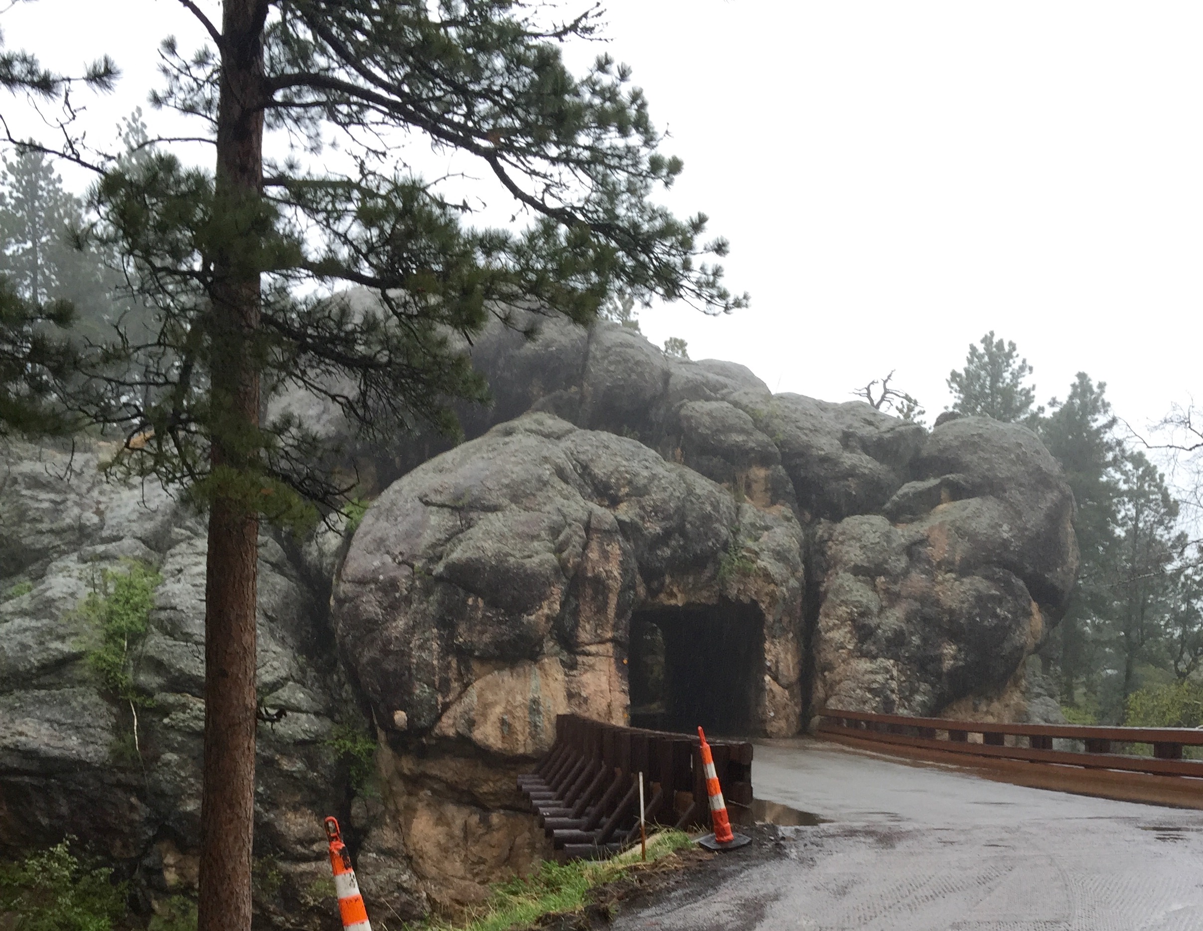
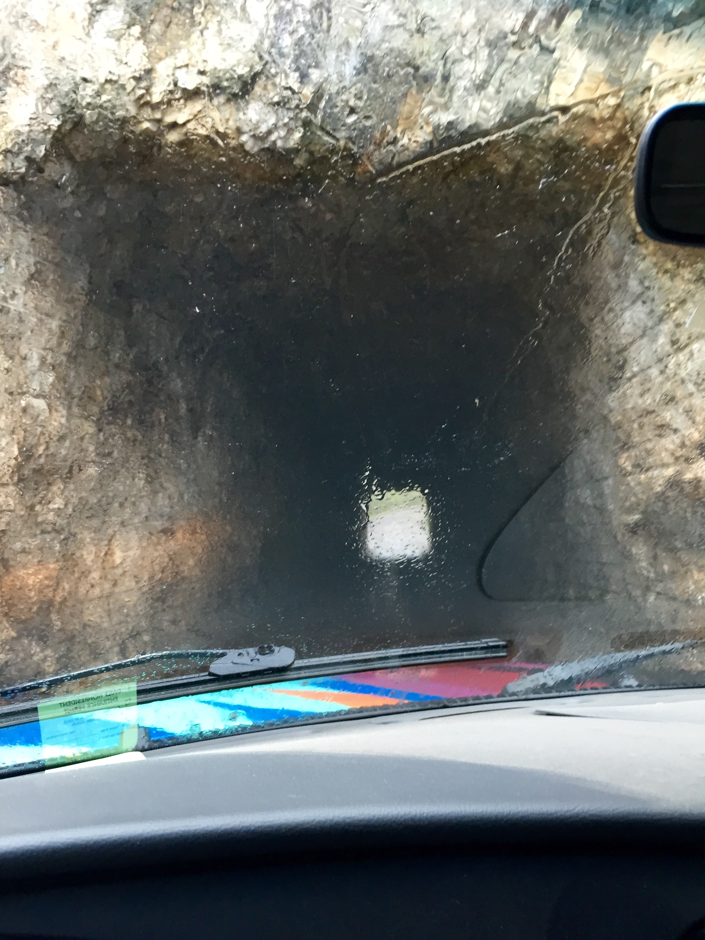
Which even took us through some tight squeezes blasted out of the mountains . . .

FullSizeRender - Copy (417).         FullSizeRender (1229) - Copy

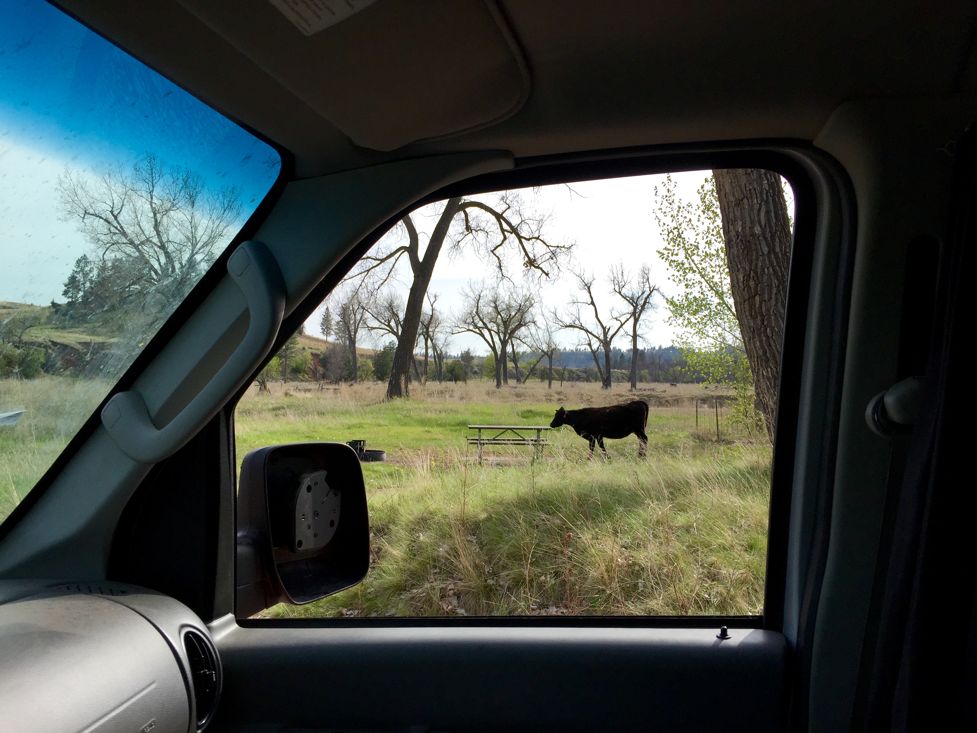
We pulled into the park late in the day, dejected and discouraged and not looking forward to making camp in the pouring rain. But all was not lost. By pure happenstance we had arrived on a Fee Free Weekend so didn’t have to pay a cent to enter! The one slightly weird thing was that there was absolutely no way to secure a camping spot in person. The ONLY way to do so was by phoning someone in a call center off property who would then tell me what sites were available when I could clearly see for myself as I was parked right next to them. We found a decent spot next to a (now raging torrent) stream, made quick work of heating up dinner, and then burrowed deep into our bed to listen to the rain on the roof.

Day Sixty (Part Two): Misty Water Colored Memories: Wyoming (Devil’s Tower)

Continuing events of Thursday May 14th, blogged Tuesday July 21st

As I mentioned in the last entry, I wanted to save writing about my evening hike around the base of the tower for a later time. So, with that being said, we now resume our story already in progress. . .

Devil’s Tower really had an effect on me, in a way I can’t quite describe. I mentioned it was sacred to the Plains Indians, and the different tribes invented varying legends to account for this otherworldly rock formation. As one of the more common tales tells it, a group of young maidens had gone out to play when they were spotted by a pack of giant bears who began to chase them. The girls ran and rand and finally collapsed atop a large rock, praying to the Great Spirit to save them. In answer to their prayers, the Great Spirit made the rock rise up toward the heavens so that the bears could not reach them. As the bears struggled in vain to climb the steep tower, they left deep claw marks all along the sides. At last, the maidens were able to escape into the sky where they transformed into the constellation Pleiades. (Interestingly, I heard a different origin story for Pleiades at Death Valley-but that one was about a bunch of stupid dudes who disobeyed their parents, so I like the BAWOTD version better 🙂 )

FullSizeRender (1213) - Copy          IMG_5889

I arrived at the Tower at my favorite time of day, the gloaming, when the light is low and soft and there seems to be a magical quality to the air. There was a hint of flowers on the breeze and it smelled like spring. Unfortunately, Annie was once again denied the pleasure of accompanying me, but in this instance I’ll go along with it as the Tower and surrounding woods is still considered a sacred space by several Native American tribes. In fact, as you traverse the paths you can see small colorful prayer bags tied to some of the trees encircling the base.

FullSizeRender (1211) - Copy.         FullSizeRender - Copy (409)

It’s difficult to capture in pictures, but every angle presented a new viewpoint, and in some lights, the greenish gold moss coating the stone seemed to glow from within.

FullSizeRender (1210) - Copy.         FullSizeRender (1227) - Copy

  FullSizeRender - Copy (410)

As I was rounding the back side, and marveling at the quiet (there was not a soul to be seen), and admiring the huge boulder-like chunks at the base that had fallen off of the Tower over time, out of nowhere a deer bounded out from amid the rubble and came to a stop no more than five feet from me. She looked me straight in the eye, unwavering, holding my gaze for a good thirty seconds and showing no fear at all. Again, I can’t properly put it into words, but I was left with the feeling that something very poweful had transpired.

FullSizeRender (1212) - Copy

As I rounded another side, suddenly the trees enclosing me opened up and I was treated to breathtakingly expansive views of the surrounding countryside.

     FullSizeRender (1209) - Copy.         FullSizeRender - Copy (416)FullSizeRender (1228) - Copy

Now I may have been alone on the trail, but I wasn’t alone at the Tower – there were actually a handful of climbers scaling the 1,300 foot edifice (see the tiny red speck in photo below). Devil’s Tower was first climbed in 1893 by a pair of local ranchers who drove wooden pegs into the rock face to form a ladder. Some of the pegs remain today and can be viewed through a little telescopey thing. In 1941 a dude named George Hopkins lost a bet and was forced to parachute onto the top of the tower as a publicity stunt. He had planned to have a rope dropped down to use for his descent, but . . . ooopsie . . . it missed the tower and so he was stuck up there for six days exposed to the cold, rain, and 50mph winds before he could be rescued. Do I need to start a DADOTD feature?

IMG_5944.         climber

As you can imagine, the native Indians didn’t take to kindly to their spiritual site being clambered all over by every Tom, Dick, and Harry with a rope. Many of the leaders objected to this practice, deeming it a desecration. In response, the kindly old white dudes of the federal government instituted a VOLUNTARY climbing ban for the month of June when many tribal ceremonies are held at the Tower. Of course some dumbasses do it anyway. Because . . . reasons.

I hated to leave the Tower as it really enchanted me, but the sun was setting and the wind was picking up, and it was time to head back to the toasty confines of Marigold and the puppy snuggles to be found within. Annie seemed to have made a complete recovery, and her BARKBARK was back to full effect. We feasted on beans over the camp stove and had just settled our heads for a long spring’s nap when a heavy rain began to fall and thunder rumbles and lightning flashes moved toward us from the distance. Annie has never been a fan of the kaboomies, so she quickly got into the sleeping bag with me and cuddled up close. Thanks to the migraine that the dropping barometer heralded for me, we both spent a rather fitful night.

Day Sixty: Glide On the Peace Train: Montana, Wyoming (Little Big Horn, Devil’s Tower)

Events of Thursday May 14th, blogged Thursday July 9th

Sooo . . . hey there! Bet you thought I forgot all about this little blog. If you don’t know me, you think maybe we met an untimely fate in the creepy campground, or that Corpse Belly really did prove fatal to Annie and I was too bereft to carry on. If you do know me, you know that the truth which is out there is that things got busy and life got in the way. But I really want to finish the final days of my amazing journey (which I am already nostalgic for). So – with the caveat that memories are dimming and I am relying on my paper journal and photos for much of this – let’s journey west once more to the wide open spaces of Montana.

The morning dawned chilly and overcast, which was actually going to be fitting for the rather somber itinerary I had planned for the day. The campground failed me yet again when not one but TWO soda machines proved to be empty and non-functioning. And there’s nothing that makes me crosser than a bait and switch with my Diet Coke, ESPECIALLY first thing in the morning!

FullSizeRender - Copy (414)

Annie seemed a bit brighter, so we headed down to road to the Little Bighorn Battlefield – the site of Custer’s infamous Last Stand. For those who don’t know, in an earlier treaty the Plains Indians had been pushed out of the majority of their original hunting grounds (they were a fairly nomadic people) and forced to live on reservations in the Black Hills. Not long after that agreement, the US government found gold in them thar hills and decided the land was far too valuable to waste on the native inhabitants. So, as per usual, they tried to weasel out of the treaty, but the Indians were already fed up with being shuffled around, and had smoked a peace pipe on this treaty and everything, so they were NOT having it.  General Armstrong Custer and the US Cavalry launched an attack on an Indian encampment here and were resoundingly defeated. Fun Fact: The Indians refer to it as The Battle of Greasy Grass.

FullSizeRender (1200) - Copy.         FullSizeRender (1201) - Copy

As soon as we pulled in I could feel the weight of history in the air and a somber feeling surrounding me and the sense that something important and sad had happened here. Dogs weren’t allowed, but Annie was still feeling sluggish, so she slept in the van while I took the narrated driving tour through the battlegrounds. It was haunting and still.

FullSizeRender - Copy (407).         FullSizeRender (1202) - Copy

The rolling hills stretched for miles, and the prairie grass rustled in the wind, and it was easy to picture the Indian camps and the approaching mounted cavalry. Little Bighorn was important for multiple reasons, not the least of which is that it was the first (and probably only) major battle that the Indians actually won. One of the speculated reasons for this was that for the first time, rather than just engaging with the braves in the armed war parties, the Cavalry actually took the battle into the Indian home camps; attacking the women, elders, and children. To see their families being massacred spurred the Indian warriors on to fight as they had never fought before. Also, Custer had broken a sworn promise to never kill another Cheyenne, and that just ain’t cool.

FullSizeRender - Copy (406).         FullSizeRender (1199) - Copy

Spoiler Alert: Custer and his men are vastly outnumbered, they make some tactical mistakes, and they lose the battle. That large monument above marks “Last Stand Hill” where he and the majority of his men fell and were buried in a mass grave. It didn’t seem right to do the usual wacky selfie face here. This is my mournful and respectful selfie face.

FullSizeRender (1204) - Copy .        FullSizeRender (1205) - Copy

In classic American fashion, even though the (now dead) white guy lost, they still named the park after him. The site was originally known as Custer Battlefield National Monument, and wasn’t rechristened as Little Bighorn (after the river which runs through it and which the Indians were camped beside) until NINETEEN NINETY ONE! The bill that allowed the name change also authorized the creation of the Indian Memorial pictured above to honor the Lakota and Cheyenne warriors who sacrificed their lives here as well. It wasn’t until 1999 that red granite markers began to be added alongside the white ones to denote the spots where specific native warriors fell.

FullSizeRender (1203) - Copy

I did think it was kind of cool that the dead horses got their own marker, even if they did get it before the Indians who actually won the battle got theirs.

The words on the side of the Visitor Center reflect the message of peaceful resolution that the monument hopes to impart.

FullSizeRender (1198) - Copy

Soon enough it was time to leave and get back out on the open highway. But not without a quick stop at a nearby Trading Post filled with equal parts gorgeous native made items and ticky-tacky touristy shlock.

IMG_5788

And it wasn’t too long until . . . WYOMING WE ARE IN YOU!

FullSizeRender (1221) - Copy

Way in the distance you can see the Black Hills . . .

FullSizeRender (1222) - Copy

The highway through Wyoming was gorgeous, and empty, and not all that different from Montana.

FullSizeRender - Copy (413).         FullSizeRender (1206) - Copy

And there were yet more glimpses of old Western towns and curious signage . . .

FullSizeRender (1219) - Copy.         FullSizeRender (1208) - Copy

At last we saw our destination, looming up out of the distance . . .

FullSizeRender (1223) - Copy.         FullSizeRender (1226) - Copy

Devil’s Tower – perhaps more familiar to you as the creepy rock formation from Close Encounters of the Third Kind, but a landmark that held great significance to the Plains Indians who knew it as Mateo Tepee or Grizzly Bear Lodge. It rises almost 1,300 feet into the sky and became the FIRST National Monument back in 1906.

FullSizeRender (1225) - Copy

This was where we would be camping for the night, so I decided to drive into the campground and secure our spot straight away. The first thing you pass when you enter the Monument grounds is “Prairie Dog Town.” Acres and acres of holes with cute little gophers popping up and down all day long like an endless game of Whack-A-Mole. I hurried Annie through this part.

FullSizeRender (1224) - Copy

Once we found our campsite, we discovered another furry fella had taken up residence . . . there were literally cows roaming around our picnic table! I guess the monument grounds abut someone’s grazing land, and the cattle occasionally take liberties.

FullSizeRender - Copy (415)

Once Old Bessie wandered off, we got out and Annie started making herself at home, complete with her first Wyoming Woogle

FullSizeRender (1217) - Copy          FullSizeRender (1215) - Copy

This campground was lovely, and super laid back (they were GIVING AWAY firewood) and you could even SEE the tower from our spot!

FullSizeRender (1214) - Copy

I met a lovely older couple who was parked in the next space over and who were traveling in an old conversion van they had made themselves. We took turns comparing notes, and they were quite impressed with Marigold, while I was quite envious of their working refrigerator!

As it was still relatively early, I did end up hiking around the Tower, but that was a pretty special experience that I think I will save for the next post, to give you something to look forward too . . .

FullSizeRender (1216) - Copy